The Unique Map of Croatia: A Journey Through Regions and Shapes
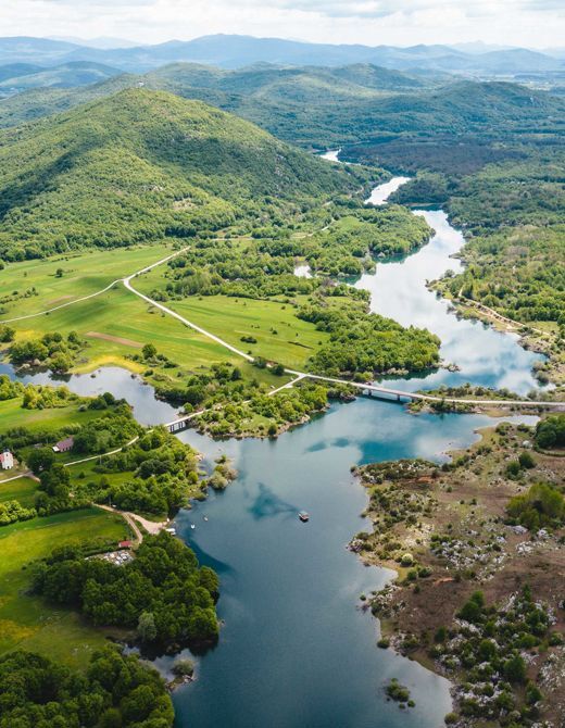
Croatia's map is a striking blend of coastlines, mountains, and historic cities, often described as resembling a croissant, a dragon, or a swallow. This unique geography divides the country into distinct regions, each offering its own cultural and natural treasures. From the bustling coastal cities of Dalmatia to the serene landscapes of Slavonia, Croatia's map tells a story of diversity and beauty.
Must-See Highlights
- Historic Coastlines: Explore the UNESCO-listed old town of Trogir and the fortress of Šibenik.
- Natural Wonders: Discover the emerald waters of the Adriatic and the lush forests of Velebit Nature Park.
- Cultural Experiences: Attend the Sinjska Alka knights' tournament or sample traditional dishes like peka and štrukle.
Practical Tips
Travel Tips for Croatia
- Transportation: Rent a car for flexibility, or use trains and buses for budget-friendly travel between cities.
- Best Time to Visit: Summer for beaches, autumn for vineyard tours, and winter for skiing in the northern regions.
- Language: English is widely understood in tourist areas, but learning basic Croatian phrases is appreciated.
Frequently Asked Questions
What does Croatia's map look like?
Croatia's map is often described as resembling a croissant, a dragon, or a swallow due to its elongated shape and coastal inlets.
How many regions does Croatia have?
Croatia is divided into 20 counties, which are grouped into larger regions such as Dalmatia, Istria, Slavonia, and Central Croatia.
What are the best ways to explore Croatia?
Travel by car for flexibility, take trains and buses for budget options, or use ferries to explore the islands.
Explore yachts, catamarans and motor yachts available from Croatian bases.
Yacht Search Page