Via Dinarica Trail: A Hiking Adventure Through Croatia's Dinaric Alps
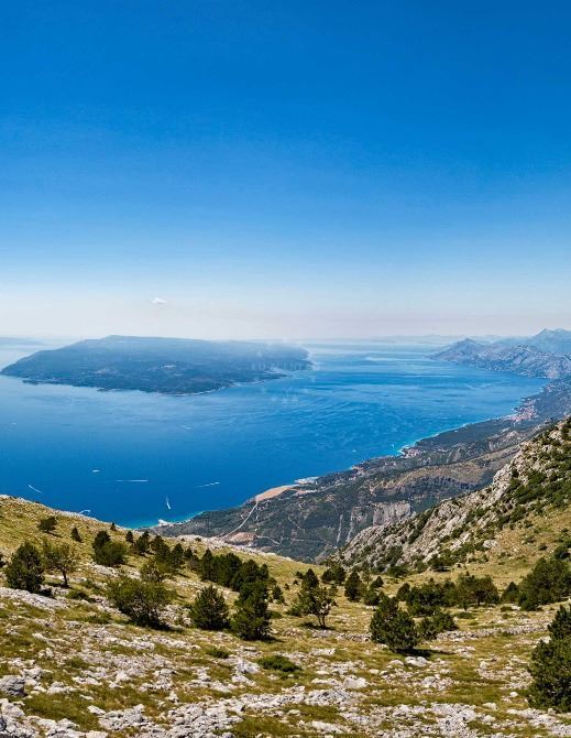
The Via Dinarica Trail is a transnational hiking route spanning over 6,500 km through the Dinaric Alps, with a significant portion passing through Croatia. This trail connects six national parks and four nature parks, offering hikers unparalleled access to Croatia's most dramatic landscapes, from coastal cliffs to alpine peaks. Whether you're an experienced mountaineer or a casual trekker, the trail's three distinct corridors cater to diverse interests and fitness levels.
Three Corridors of the Via Dinarica Trail
The trail is divided into three main corridors, each offering unique experiences:
- Blue Line: Follows the Adriatic coast, ideal for coastal hikes with sea views.
- White Line: Ascends to the highest peaks of the Dinaric Alps, including Mount Dinara (Croatia's highest peak).
- Green Line: Explores the continental Dinarides, passing through dense forests and mountain valleys.
National Parks Along the Trail
The trail traverses six Croatian national parks, including:
- Plitvice Lakes National Park
- Krka National Park
- Paklenica National Park
- Risnjak National Park
- Northern Velebit National Park
- Mljet National Park
Visitor Highlights
Must-Experience Highlights
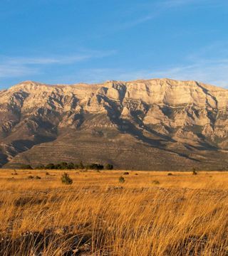
- White Line Summit Views: Breathtaking panoramic views from Mount Dinara, the trail's highest point.
- Plitvice Lakes Connection: Hike through the UNESCO-listed waterfalls and lakes of Plitvice.
- Biokovo Mountain: Traverse the southern Dinarides with dramatic coastal vistas.
- Seasonal Diversity: Summer offers lush greenery, while autumn provides vibrant foliage.
Practical Tips
Traveler Tips for the Via Dinarica Trail
- Best Time to Hike: Summer (May-September) for optimal weather; avoid winter due to snow.
- Trail Difficulty: The White Line is most challenging; the Blue Line is more accessible.
- Equipment: Sturdy hiking boots, weather-appropriate clothing, and navigation tools are essential.
- Accommodation: Plan ahead for lodging in remote areas, as options are limited along the trail.
Frequently Asked Questions
How long is the Via Dinarica Trail in Croatia?
The trail spans approximately 1,500 km within Croatia, with sections connecting to the broader 6,500 km transnational route.
Is the trail suitable for beginners?
The Blue Line is beginner-friendly, while the White Line requires advanced hiking skills due to its elevation and terrain.
What are the must-see landmarks?
Key highlights include Plitvice Lakes, Mount Dinara, and the coastal trails of Biokovo Mountain.
Explore yachts, catamarans and motor yachts available from Croatian bases.
Yacht Search Page