Mačak, Sućuraj (Hvar) Beach, Croatia
Mačak Beach, located in the village of Sućuraj on the island of Hvar, offers a unique shoreline experience characterized by gravel and concrete/stone slabs. Situated along the southern coast of Hvar, the beach benefits from natural shade provided by surrounding terrain, creating a distinct atmosphere compared to the island's more conventional sandy beaches. While not a typical sunbathing spot, its proximity to Sućuraj's historic village and Hvar's renowned vineyards makes it an intriguing destination for those seeking a different coastal perspective.
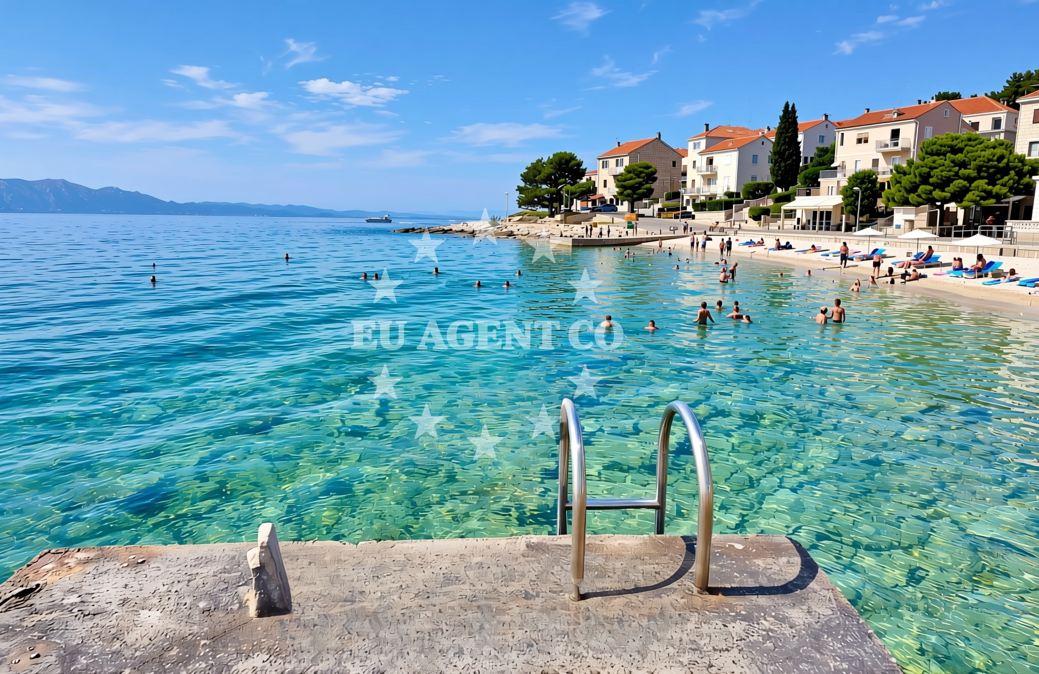
About this beach
Mačak, Sućuraj (Hvar)
Beach: Mačak
Location: Sućuraj (Hvar)
Characteristics and facilities
Gravel, concrete / stone slabs
Natural shade
Beach character
The beach's surface consists primarily of gravel and stone slabs, reflecting the rocky geology of the Hvar coast. This composition makes it less suitable for traditional sunbathing but offers a stable surface for walking or brief rest periods. Natural shade is available from the surrounding landscape, though visitors should note that this is not a beach with designated shaded areas or umbrellas. The shoreline's texture and orientation suggest it may be more accessible during low tide, when the gravel bed is fully exposed.
Swimming and shore
Swimming conditions at Mačak Beach are influenced by its position along the Hvar coast. The Adriatic Sea here is generally clear but can be subject to moderate wave action depending on wind patterns. The gravel shoreline may make direct entry into the water less comfortable for some visitors, though the beach's orientation suggests it could serve as a vantage point for observing maritime activity in the nearby Sućuraj harbor. The absence of explicit water depth information means caution is advised for swimmers unfamiliar with the area.
Facilities and activities
No specific facilities are documented for Mačak Beach itself. The lack of structured amenities aligns with its character as a more natural, less developed shoreline. Nearby Sućuraj offers basic village services, including taverns and small shops, though these are not directly adjacent to the beach. The area's primary appeal lies in its coastal setting rather than recreational infrastructure. Visitors should plan for minimal on-site amenities and consider nearby Sućuraj for refreshments or necessities.
Access and location
Mačak Beach is located within the village of Sućuraj on Hvar, accessible via local roads connecting to the main island routes. The beach's proximity to Sućuraj's historic core places it within walking distance of the village's stone houses and vineyards. For visitors arriving by car, parking options in Sućuraj may be limited, requiring prior planning. The beach's position along the southern Hvar coast also makes it a potential stop for those exploring the island's eastern routes, which connect to Stari Grad and the Hvar Town harbor.
What to expect
Visitors to Mačak Beach should expect a shoreline defined by gravel and stone slabs, with natural shade provided by the surrounding landscape. The beach lacks formal amenities but offers a quiet coastal perspective overlooking the Adriatic. Its location within Sućuraj provides access to the village's traditional architecture and vineyard scenery, though beachgoers should be prepared for a more rustic experience compared to Hvar's more developed beaches. The area's appeal lies in its authenticity rather than modern comforts.
Practical tips
Given the beach's gravel composition, visitors may want to wear sturdy footwear for walking along the shoreline. The lack of formal facilities means bringing personal items like water, snacks, and sun protection is essential. Those interested in exploring Sućuraj's village should allow time for walking between the beach and the village center. The beach's orientation suggests it may be more accessible during low tide, though this should be confirmed locally.
Exploring the coast by yacht
Mačak Beach's location on the southern coast of Hvar places it within a region popular with yacht charter guests exploring the Dalmatian coast. The nearby Sućuraj harbor serves as a common anchorage point for boats navigating the Hvar channel, offering access to both the beach and the village. Yacht charter guests may find the area appealing for short excursions, with the opportunity to explore Hvar's vineyards and the island's eastern coastline. The Adriatic's generally calm waters in this region make it suitable for sailing, though mariners should check local conditions for any temporary changes.
Regional Context and Coastal Connectivity
The Sućuraj area is part of Hvar's eastern coastline, a region known for its historic villages and vineyards. The beach's proximity to the Sućuraj harbor highlights its potential as a stop for those exploring the island's maritime routes. The broader Hvar region is a hub for yacht charter activity, with many boats anchoring near Sućuraj to access both the beach and the village's cultural sites. The area's connectivity to Hvar Town and Stari Grad via road and sea further enhances its appeal for visitors combining land and sea exploration.
Anchorages in the surrounding area
Anchorages in Sućuraj and Selca Kod Bogomolja offer nearby mooring options.
- Anchorage — sucuraj — hvar — 0.2 NM from beach
- Anchorage — sucuraj — hvar — 0.8 NM from beach
- Anchorage — sucuraj — hvar — 1.3 NM from beach
- Anchorage — selca kod bogomolja — hvar — 1.7 NM from beach
- Anchorage — selca kod bogomolja — hvar — 1.7 NM from beach
- Anchorage — sucuraj — hvar — 2.0 NM from beach
- Anchorage — selca kod bogomolja — hvar — 3.1 NM from beach
- Anchorage — selca kod bogomolja — hvar — 3.3 NM from beach
Distances are straight-line geographic distances, not sailing routes.
Mooring buoys in the surrounding area
- Jetty — sucuraj — hvar — 0.4 NM from beach
- Konoba Gambo buoys — selca kod bogomolja — hvar — 3.5 NM from beach
- Drvenik - Ferry dock — drvenik ferry dock — 3.6 NM from beach
- Brist — 6.2 NM from beach
- Kraj - Soline — kraj soline — drasnice — 6.5 NM from beach
Distances are straight-line geographic distances, not sailing routes.
Marine fuel stations
- Fuel station — korcula — 10.2 NM from beach
- Fuel station — ploce — 12.0 NM from beach
- Ina — makarska — 12.6 NM from beach
- Fuel station — sumartin — brac — 17.1 NM from beach
Distances are straight-line geographic distances, not sailing routes.
Harbours in the surrounding area
- Sućuraj — sucuraj — hvar — 0.4 NM from beach
- Drvenik — 3.4 NM from beach
- Živogošće — zivogosce — 4.0 NM from beach
- Zaostrog — 4.4 NM from beach
- Igrane — 4.6 NM from beach
- Duba — duba peljeska — 5.9 NM from beach
Distances are straight-line geographic distances, not sailing routes.
Marinas in the surrounding area
Marinas in Tučepi, Korcula, and other nearby locations provide yacht泊位 options.
- Marina Tučepi — marina tucepi — 10.0 NM from beach
- ACI Marina Korčula — korcula — 10.1 NM from beach
- Marina Lumbarda — korcula — 11.9 NM from beach
- Marina Ramova — krvavica — 14.8 NM from beach
- Marina Baška Voda — marina baska voda — 17.4 NM from beach
Distances are straight-line geographic distances, not sailing routes.
Restaurants near the beach
Restaurants in Sućuraj and Selca Kod Bogomolja offer dining options close to the beach.
- Riblji Restoran — sucuraj — hvar — 0.3 NM from beach
- Restaurant — sucuraj — hvar — 0.3 NM from beach
- Mlaska — sucuraj — hvar — 1.9 NM from beach
- u.Mrtinovic — selca kod bogomolja — hvar — 3.5 NM from beach
Distances are straight-line geographic distances, not sailing routes.
Navigation guides for the surrounding area
Navigation guides for Hvar and surrounding areas assist with route planning near the beach.
- OTOK HVAR — 1.0 NM from beach
- Uvala Drvenik (Donja Vala) — 3.7 NM from beach
- Uvala Kozja — 5.6 NM from beach
- Uvala Duboka — 5.9 NM from beach
- Uvala Divna — 6.4 NM from beach
Distances are straight-line geographic distances, not sailing routes.
Yachts from nearby departure bases
Sailing yachts
- Bavaria 40 Cruiser (LADY BUTTERFLY) — Tučepi Port — 10.0 NM from departure base to beach
- Elan 40 Impression (Karleta) — Ploče City Port — 11.9 NM from departure base to beach
- Elan 514 Impression (Cesarica III) — Ploče City Port — 11.9 NM from departure base to beach
- Sun Odyssey 419 (Luka Ploce) — Ploče City Port — 11.9 NM from departure base to beach
- Salona 44 (SAMOA) — Ploče City Port — 11.9 NM from departure base to beach
- Sun Odyssey 349 (Porto Tolero) — Ploče City Port — 11.9 NM from departure base to beach
- More 55 (MRS. ROBINSON) — Ploče City Port — 11.9 NM from departure base to beach
- Sun Odyssey 349 (Visnjica) — Ploče City Port — 11.9 NM from departure base to beach
Catamarans
- Lagoon 450 Fly (Alba Mouse) — Ploče City Port — 11.9 NM from departure base to beach
Motor yachts
- Princess V53 (Chablis) — Makarska Port — 12.4 NM from departure base to beach
Distances are straight-line geographic distances, not sailing routes.