Baterija, Vis (Vis) Beach, Croatia
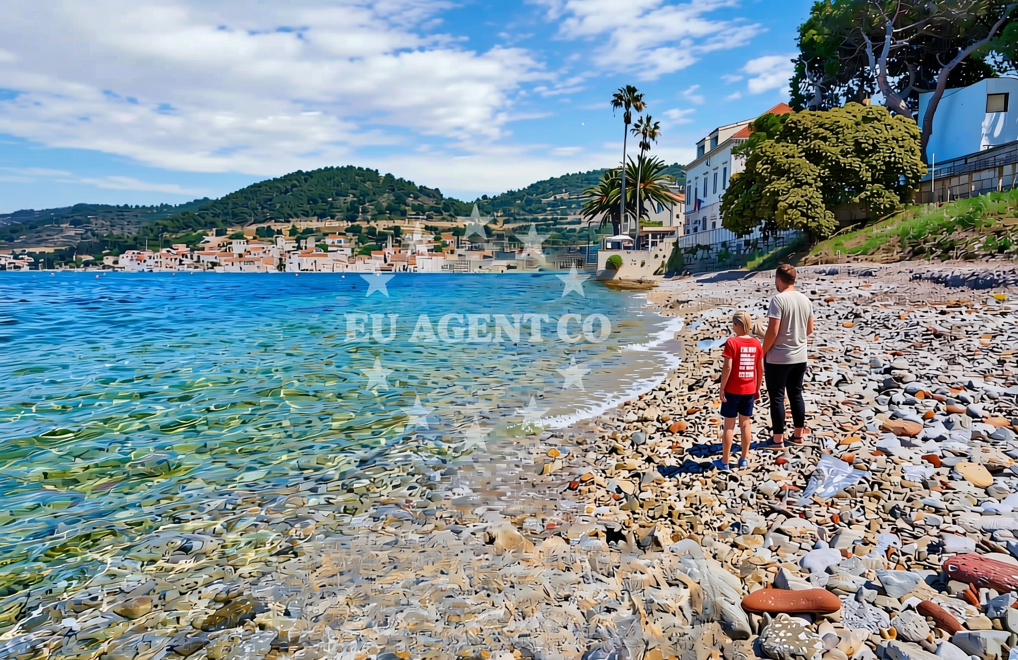
Baterija Beach lies on the island of Vis, a historic and naturally stunning destination in the Adriatic Sea. This stretch of coastline is defined by its unspoiled character, with rocky outcrops and shallow waters that reflect the island's rugged geography. While no formal amenities are listed for the beach itself, its location on Vis offers visitors a chance to experience one of Croatia's most pristine maritime environments.
About this beach
Baterija, Vis (Vis)
Beach: Baterija
Location: Vis (Vis)
Beach character
The beach's defining feature is its integration with Vis' dramatic landscape. The shoreline is marked by limestone formations and scattered pebbles, creating a natural setting that contrasts with the island's more developed coastal areas. The water clarity is typical of the Adriatic, with visibility often extending several meters underwater. The beach's orientation on the island's western coast means it faces open sea conditions, which can influence wave patterns depending on wind direction.
Swimming and shore
Swimming conditions at Baterija are generally suitable for those comfortable with moderate wave action. The shallow, pebbled shore allows for easy access to the water, though the rocky terrain may make it less ideal for young children. The surrounding area is noted for its marine biodiversity, with occasional sightings of fish species common to the Adriatic. Snorkeling is possible in calmer periods, though no formal snorkeling zones are indicated.
Facilities and activities
No formal facilities are listed for Baterija Beach itself. The absence of structured amenities means visitors should plan accordingly, as there are no designated restrooms, showers, or food services directly on the beach. The area's natural character suggests it is best suited for those seeking solitude and a connection to the island's raw coastal environment.
Access and location
Reaching Baterija Beach requires navigating the island of Vis, which is accessible via ferry from the mainland or by boat from nearby islands like Hvar and Brac. The beach is located near the village of Vis, the island's main settlement, which offers basic services including accommodation, restaurants, and boat charter operations. The lack of direct road access means visitors typically arrive by foot, bicycle, or vehicle rented from the village.
What to expect
Visitors to Baterija Beach should expect a landscape defined by natural formations and minimal infrastructure. The beach is likely to be quieter than more developed areas of Vis, offering a chance to observe the island's traditional way of life. The surrounding area includes cultural landmarks such as the 16th-century Fort Kastel, which provides historical context for the region's strategic importance in the Adriatic. The beach's location also places it within reach of Vis' renowned wine-producing areas, with local vineyards offering tastings of Plavac Mali and Pošip varietals.
Practical tips
Given the beach's natural setting, visitors are advised to bring water and sun protection, as shade options are limited. The rocky terrain may make it challenging to establish a stable beach setup, so lightweight equipment is recommended. Those interested in exploring the island further may want to coordinate transportation in advance, as services on Vis are limited compared to larger Adriatic destinations.
Exploring the coast by yacht
The waters around Vis, including the area near Baterija Beach, are a key part of the Adriatic's sailing network. The island's position in the central Dalmatian coast makes it a common stop for yacht charters exploring the region. Nearby anchorages include the sheltered waters of Vis' northern coast and the open sea routes connecting to Hvar and the Pelješac Peninsula. While Baterija itself is not a formal anchorage, the surrounding area offers opportunities for sailors to explore Vis' maritime heritage and natural beauty.
Historical Context of Vis Island
Vis has a rich history shaped by its strategic location in the Adriatic. During the Yugoslav era, the island was a closed military zone, contributing to its preservation of natural and cultural sites. The island's medieval fortifications, including the 13th-century fortress of Sveti Nikola, reflect its long-standing role as a defensive outpost. This history continues to influence the island's character, with a focus on sustainability and low-impact tourism.
Anchorages in the surrounding area
Anchorages near Baterija, Vis include options in Kut and Vis, such as Anchorage — kut — vis and Vis luka.
- Anchorage — kut — vis — 0.2 NM from beach
- Vis luka — 0.4 NM from beach
- Stonca — vis — 0.6 NM from beach
- Anchorage — vis — 0.7 NM from beach
- Anchorage — vis — 1.0 NM from beach
- Anchorage — vis — 1.1 NM from beach
- Parja — vis — 1.3 NM from beach
- Anchorage — vis — 2.1 NM from beach
Distances are straight-line geographic distances, not sailing routes.
Mooring buoys in the surrounding area
Mooring buoys in the surrounding area include Buoy field — vis and Konoba Stončica jetty — vis.
- Buoy field — vis — 0.2 NM from beach
- Jetty — vis — 0.8 NM from beach
- Jetty — vis — 1.3 NM from beach
- Konoba Stončica jetty — vis — 2.2 NM from beach
- Stončica — stoncica — vis — 2.2 NM from beach
Distances are straight-line geographic distances, not sailing routes.
Marine fuel stations
Fuel stations near Baterija, Vis include Petrol station Ina — vis and stations in Hvar and Brac.
- Petrol station Ina — vis — 0.4 NM from beach
- Fuel station — hvar — 12.8 NM from beach
- Ina — milna brac — 19.5 NM from beach
- Fuel station — rogac — solta — 20.8 NM from beach
Distances are straight-line geographic distances, not sailing routes.
Harbours in the surrounding area
Harbours in the surrounding area include Kut — vis, Luka — vis, and Rogačić — vis.
- Kut — vis — 0.3 NM from beach
- Luka — vis — 0.3 NM from beach
- Rogačić — vis — 1.2 NM from beach
- Komiža — komiza — vis — 4.7 NM from beach
- Hvar — 12.8 NM from beach
- Vira — hvar — 13.0 NM from beach
Distances are straight-line geographic distances, not sailing routes.
Marinas in the surrounding area
Marinas in the surrounding area include ACI Marina Palmižana in St Klement and Marina Milna Kanarija in Brac.
- ACI Marina Palmižana — aci marina palmizana — st klement — 10.8 NM from beach
- Marina Milna Kanarija — milna brac — 19.5 NM from beach
- Marina Vlaška — milna brac — 19.6 NM from beach
- ACI Marina Milna — milna brac — 19.6 NM from beach
- Marina Martinis Marchi — maslinica — solta — 20.4 NM from beach
Distances are straight-line geographic distances, not sailing routes.
Restaurants near the beach
Restaurants near Baterija, Vis include Restaurant Villa Kaliopa — kut — vis and Kod Paveta — vis.
- Restaurant Villa Kaliopa — kut — vis — 0.1 NM from beach
- Kod Paveta — vis — 0.2 NM from beach
- Konoba Kantun — vis — 0.2 NM from beach
- Val — vis — 0.2 NM from beach
- Pojoda — kut — vis — 0.3 NM from beach
- Lambik — kut — vis — 0.3 NM from beach
- Restaurant — vis — 0.3 NM from beach
Distances are straight-line geographic distances, not sailing routes.
Navigation guides for the surrounding area
Navigation guides for the surrounding area include Uvala Stoncica and Komiža.
- Uvala Stoncica — 2.5 NM from beach
- Komiža — 4.5 NM from beach
- Luka Soline — 9.8 NM from beach
- Uvala Tarsce — 10.2 NM from beach
- Uvala Stari Stani — 10.3 NM from beach
Distances are straight-line geographic distances, not sailing routes.
Yachts from nearby departure bases
Yachts from nearby departure bases include Hanse 455 (AURUM 1) from Milna Marina Vlaška and Cyclades 39.3 (Alaska) from Šolta Rogač.
Sailing yachts
- Hanse 455 (AURUM 1) — Milna Marina Vlaška — 19.6 NM from departure base to beach
- Bavaria 46 Cruiser (MO) — Milna Marina Vlaška — 19.6 NM from departure base to beach
- Hanse 505 (AVALON) — Milna Marina Vlaška — 19.6 NM from departure base to beach
- Hanse 388 (BANJO) — Milna Marina Vlaška — 19.6 NM from departure base to beach
- Cyclades 39.3 (Alaska) — Šolta Rogač — 20.8 NM from departure base to beach
- Cyclades 43.4 (Niagara) — Šolta Rogač — 20.8 NM from departure base to beach
- Cyclades 50.5 (Orinoco) — Šolta Rogač — 20.8 NM from departure base to beach
Catamarans
- Lagoon 450 (Madagascar) — Šolta Rogač — 20.8 NM from departure base to beach
- Lagoon 400 (Greenland) — Šolta Rogač — 20.8 NM from departure base to beach
- Lagoon 42 (Galapagos) — Šolta Rogač — 20.8 NM from departure base to beach
Distances are straight-line geographic distances, not sailing routes.