Zaton
Region: Central Adriatic
| Position: 43.786667, 15.83 | Adriatic Sea / Jadransko more
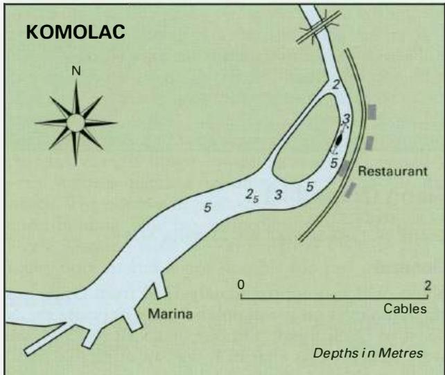
43°47'-2N 15°49'.8E Charts BA 2711, 2773 (detailed), SC 5767, MK 15, lmray M25 The small village of Zaton lies just over 4M northwest of Sibenik. The approach from Sibenik is straightforward. A road bridge and high-tension cable (both with a minimum of 30m clearance) span the channel. There is a shallow area extending 1 cable from the W bank near t
General
43°47'-2N 15°49'.8E Charts BA 2711, 2773 (detailed), SC 5767, MK 15, lmray M25 The small village of Zaton lies just over 4M northwest of Sibenik.
Approach
The approach from Sibenik is straightforward. A road bridge and high-tension cable (both with a minimum of 30m clearance) span the channel. There is a shallow area extending 1 cable from the W bank near the high-tension cable. Approximately lM southeast of Zaton a number of unlit buoys lie in the channel near the rowing club.
Lights
Fl.G.5s7m4M on the quay at Zaton. The quay at Zaton
Berth
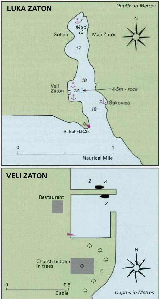
Tie up alongside the quay near the light where there are depths of 2 -2.5m, or go bows to the quay at the far end. Both berths can, however, be very noisy. A quieter alternative is to anchor in the position indicated in a depth of 6 to 9m.
Shelter
The quay is protected from all winds with the exception of winds from SE, which create an uncomfortable swell.
Facilities
Water and electricity on the quay near the light. Supermarket, bakers, butchers, fruit and vegetable market. General hardware shop. Post office and telephones. Medical centre. Tourist information. Restaurant and several cafe/bars. Bus service. Rasline
Adriatic Navigation Guide Images for Zaton
Adriatic Navigation Guide images and captions provide additional visual reference for this navigation location.