← Back to navigation map
Professional navigation chart centered on Uvala Vela Travna

Uvala Vela Travna

Region: Central Adriatic | Position: 43.328333, 16.38 | Adriatic Sea / Jadransko more
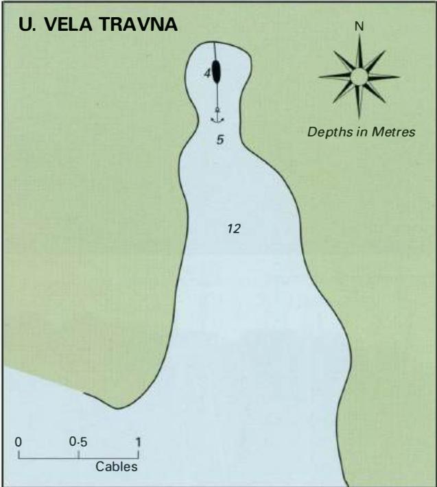
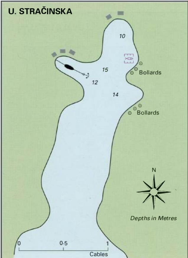
43°19'.7N 16°22'.8E Charts BA 2712, SC 5767, MK 76, 18, lmray M26 Uvala Vela Travna is a deep bay on the SE coast of Otok Solta, open due south, which is suitable for anchoring. It is however necessary to take a line ashore at the head of the bay. The bay is exposed to S and SW winds, which send a swell into the bay. Uvala Stracinska

General

43°19'.7N 16°22'.8E Charts BA 2712, SC 5767, MK 76, 18, lmray M26 Uvala Vela Travna is a deep bay on the SE coast of Otok Solta, open due south, which is suitable for anchoring. It is however necessary to take a line ashore at the head of the bay. The bay is exposed to S and SW winds, which send a swell into the bay. Uvala Stracinska

Adriatic Navigation Guide Images for Uvala Vela Travna

Adriatic Navigation Guide images and captions provide additional visual reference for this navigation location.
Uvala Vela Travna Adriatic Pilot image
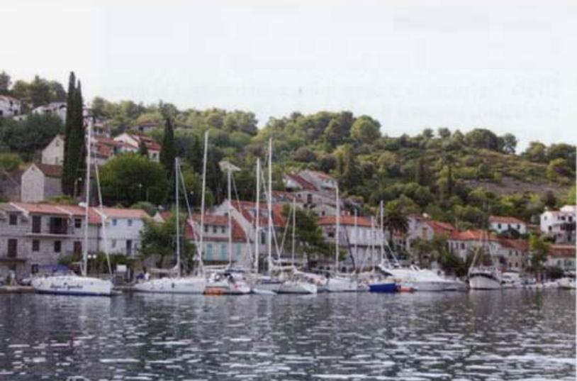
The village quay at Stomorska
Uvala Vela Travna Adriatic Pilot image