Professional navigation chart centered on Uvala Vala Jana
Uvala Vala Jana
Region: North Adriatic
| Position: 45.061667, 14.451667 | Adriatic Sea / Jadransko more
45°03"7N 14°27"1E Charts BA 2719, MK 6, lmray M24 Uvala Vala Jana and Uvala Mala Jana are two bays lying on the southwest coast of Otok Krk, about lM southeast of the light on Rt Manganel. The better anchorage is in the more N bay, Uvala Vala Jana. This is a deserted anchorage surrounded by woods, and protected from all but SW winds. The bottom is
General
45°03"7N 14°27"1E Charts BA 2719, MK 6, lmray M24 Uvala Vala Jana and Uvala Mala Jana are two bays lying on the southwest coast of Otok Krk, about lM southeast of the light on Rt Manganel. The better anchorage is in the more N bay, Uvala Vala Jana. This is a deserted anchorage surrounded by woods, and protected from all but SW winds. The bottom is sand and weed (thick in places) with a few rocks. Anchor in 3 to 7m. Uvala Cavlena
Adriatic Navigation Guide Images for Uvala Vala Jana
Adriatic Navigation Guide images and captions provide additional visual reference for this navigation location.
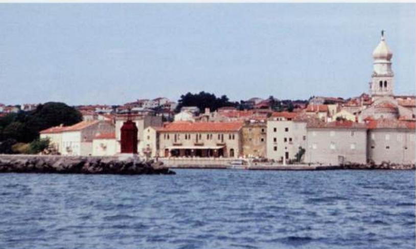
The entrance to Krk harbour. The town walls and belfry are distinctive