Uvala Tri Luke
Region: South Adriatic
| Position: 42.925, 16.671667 | Adriatic Sea / Jadransko more
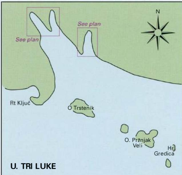
42°55'.5N 16°40"3E Charts BA 2712, SC 5767, MK 27, lmray M26 N of Rt Kljuc there are 3 bays (hence the name) offering a quiet and sheltered anchorage. From W or S pass between Rt Kljuc and the off-lying island of Trstenik. From E or S give the islet and shoals of Hrid Gredica a good berth. If entering the most E of the 3 bays do not pass too close
General
42°55'.5N 16°40"3E Charts BA 2712, SC 5767, MK 27, lmray M26 N of Rt Kljuc there are 3 bays (hence the name) offering a quiet and sheltered anchorage.
Approach
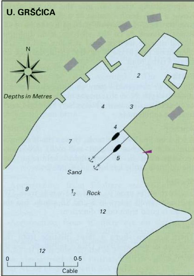
From W or S pass between Rt Kljuc and the off-lying island of Trstenik. From E or S give the islet and shoals of Hrid Gredica a good berth. If entering the most E of the 3 bays do not pass too close to the headlands on either side. Anchor Anchor in whichever bay you prefer m a suitable depth. The bottom is sand.
Shelter
All 3 bays are sheltered from W through N to E. The two most W bays are also sheltered from SW winds. In a bora take lines ashore for added security. The best shelter in a scirocco is to be found in the bay formed by the off-lying islands of Otocic Prfojak veli and OtoCic Prfojak mali.
Facilities
None. Uvala Poplat
Adriatic Navigation Guide Images for Uvala Tri Luke
Adriatic Navigation Guide images and captions provide additional visual reference for this navigation location.