Uvala Sv. Nikola
Region: Central Adriatic
| Position: 43.775, 15.635 | Adriatic Sea / Jadransko more
43°46'.5N 15°38'.1E Charts BA 271 1, SC 5767, MK 74, 15 lmray M25 Uvala Sv. Nikola lies on the southwest coast of Otok Murter, less than M east of the light on Rt Murteric and approximately 9 cables north of OtociCi Kukuljari, which are lit. A few houses, a church and a conspicuous factory building are situated at the head of the bay, where there i
General
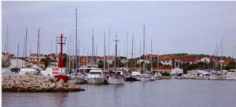
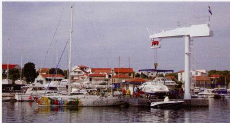
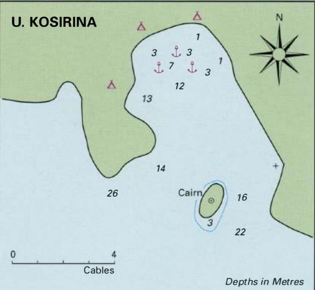
43°46'.5N 15°38'.1E Charts BA 271 1, SC 5767, MK 74, 15 lmray M25 Uvala Sv. Nikola lies on the southwest coast of Otok Murter, less than M east of the light on Rt Murteric and approximately 9 cables north of OtociCi Kukuljari, which are lit. A few houses, a church and a conspicuous factory building are situated at the head of the bay, where there is a pier. The area behind the pier is crowded with local boats. Tie bow/stern-to the outside of the pier, which has 2m alongside, or anchor in 5-lOm. Uvala Sv. Nikola offers shelter from W through N to E. There are no facilities ashore. Otok Murter -Jezera The entrance to Jezera Marina Jezera Marina. The fuel berth is the other side of the pier, behind the crane Uvala Kosirina