Uvala Sv. Mara
Region: North Adriatic
| Position: 44.781667, 14.67 | Adriatic Sea / Jadransko more
44°46'.9N 14°40'.2E Charts BA 202, MK 7, Im ray M25, M24 Uvala Sv. Mara is a bay, which has two arms. It is situated 8 cables S of the light on Rt Donja Punta. A cairn marks the headland to the NW of the bay. There are no dangers in the immediate approach. Anchor in 2-8m (sand) and, if desired, take lines to one of the stone bollards. The bay offer
General
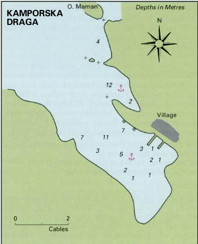
44°46'.9N 14°40'.2E Charts BA 202, MK 7, Im ray M25, M24 Uvala Sv. Mara is a bay, which has two arms. It is situated 8 cables S of the light on Rt Donja Punta. A cairn marks the headland to the NW of the bay. There are no dangers in the immediate approach. Anchor in 2-8m (sand) and, if desired, take lines to one of the stone bollards. The bay offers good shelter from NW through N to SE, but it is exposed to S and SW. Uvala Sv. Mara is considered a good bora haven. Kamporska Draga
Adriatic Navigation Guide Images for Uvala Sv. Mara
Adriatic Navigation Guide images and captions provide additional visual reference for this navigation location.