Professional navigation chart centered on Uvala Sv. Jelena
Uvala Sv. Jelena
Region: North Adriatic
| Position: 45.015, 14.893333 | Adriatic Sea / Jadransko more
45°00"9N 14°53"6E Charts BA 2779, MK 7, lmray M24 Uvala Sv. Jelena, 1YiM north-northwest of Senj, is a cove used as a bora and sirocco haven. It can be recognised from seaward by a house and pension by the roadside on the hill above the cove. The shrine shown on the old Admiralty charts no longer exists. There are no dangers in the approach. When c
General
45°00"9N 14°53"6E Charts BA 2779, MK 7, lmray M24 Uvala Sv. Jelena, 1YiM north-northwest of Senj, is a cove used as a bora and sirocco haven. It can be recognised from seaward by a house and pension by the roadside on the hill above the cove. The shrine shown on the old Admiralty charts no longer exists. There are no dangers in the approach. When close to Uvala Sv. Jelena cannons can be seen upended and partially buried at the head of the cove, placed there to serve as bollards for shore lines. Anchor in 5-8m and take a line ashore to a bollard. Near the beach there are depths of 3m, but farther out the depths increase to 8m and over. Shelter is good from N through E to S. Klenovica
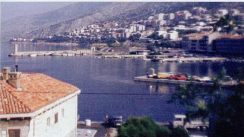
Adriatic Navigation Guide Images for Uvala Sv. Jelena
Adriatic Navigation Guide images and captions provide additional visual reference for this navigation location.