Professional navigation chart centered on Uvala Sv. Fuska
Uvala Sv. Fuska
Region: North Adriatic
| Position: 45.038333, 14.48 | Adriatic Sea / Jadransko more
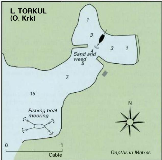
45°02'.3N 14°28"8E Charts BA 2719, MK 6, lmray M24 It is possible to obtain shelter from the bora and the sirocco in Uvala Sv. Fuska, a bay lying approximately 4M west of Krk town. The bay can be recognised by the cable landing in its S part, and the row of pylons leading up the hillside. Several fishing boats are moored in this bay. Luka Torkul
General
45°02'.3N 14°28"8E Charts BA 2719, MK 6, lmray M24 It is possible to obtain shelter from the bora and the sirocco in Uvala Sv. Fuska, a bay lying approximately 4M west of Krk town. The bay can be recognised by the cable landing in its S part, and the row of pylons leading up the hillside. Several fishing boats are moored in this bay. Luka Torkul
Adriatic Navigation Guide Images for Uvala Sv. Fuska
Adriatic Navigation Guide images and captions provide additional visual reference for this navigation location.
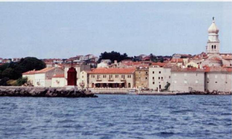
The entrance to Krk harbour. The town walls and belfry are distinctive