← Back to navigation map
Professional navigation chart centered on Uvala Stupin

Uvala Stupin

Region: Central Adriatic | Position: 43.538333, 15.993333 | Adriatic Sea / Jadransko more
43°32'.3N 15°59'.6E Charts BA 2774, SC 5767, MK 16, lmray M25 NE of Rogoznica, in the far NE corner of the bay, a sheltered anchorage can be found in Uvala Stupin. There is a quay here with shallow depths alongside used by small local boats. Although Uvala Stupin has a few houses, there are no facilities ashore. Anchor in a suitable depth, in sand.

General

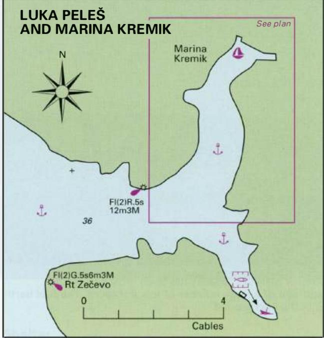
43°32'.3N 15°59'.6E Charts BA 2774, SC 5767, MK 16, lmray M25 NE of Rogoznica, in the far NE corner of the bay, a sheltered anchorage can be found in Uvala Stupin. There is a quay here with shallow depths alongside used by small local boats. Although Uvala Stupin has a few houses, there are no facilities ashore. Anchor in a suitable depth, in sand. In a bora take lines ashore for added security. Luka Peles and Marina Kremik (Primosten)

Adriatic Navigation Guide Images for Uvala Stupin

Adriatic Navigation Guide images and captions provide additional visual reference for this navigation location.
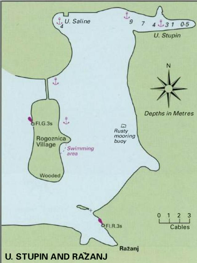
Uvala Stupin Adriatic Pilot image
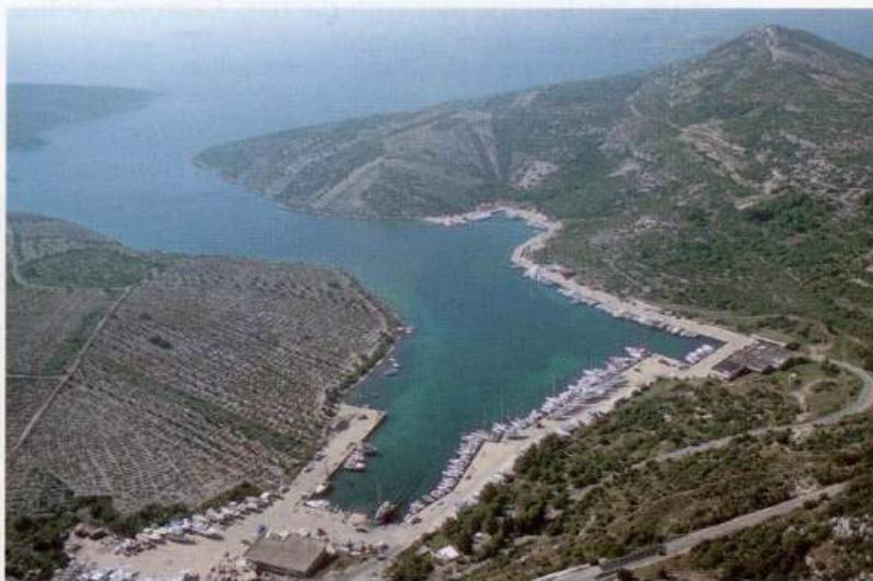
Kremik Marina before the installation of new pontoons in
Uvala Stupin Adriatic Pilot image