Professional navigation chart centered on Uvala Stoncica
Uvala Stoncica
Region: South Adriatic
| Position: 43.066667, 16.248333 | Adriatic Sea / Jadransko more
43°04'N 16°14'.9E Charts BA 2772, 2774, BA 5767, MK 77, lmray M26. Uvala Stoncica is a long deep inlet to the W of Rt Stoncica, on which there is a major light (Fl.15s38m30M). A popular restaurant is located at the head of Uvala Stonciea. If there is insufficient space to anchor near the restaurant, it is possible to anchor in one of two side inlet
General
43°04'N 16°14'.9E Charts BA 2772, 2774, BA 5767, MK 77, lmray M26. Uvala Stoncica is a long deep inlet to the W of Rt Stoncica, on which there is a major light (Fl.15s38m30M). A popular restaurant is located at the head of Uvala Stonciea. If there is insufficient space to anchor near the restaurant, it is possible to anchor in one of two side inlets on the W side, where there are depths of less than lOm. Komiza
Adriatic Navigation Guide Images for Uvala Stoncica
Adriatic Navigation Guide images and captions provide additional visual reference for this navigation location.
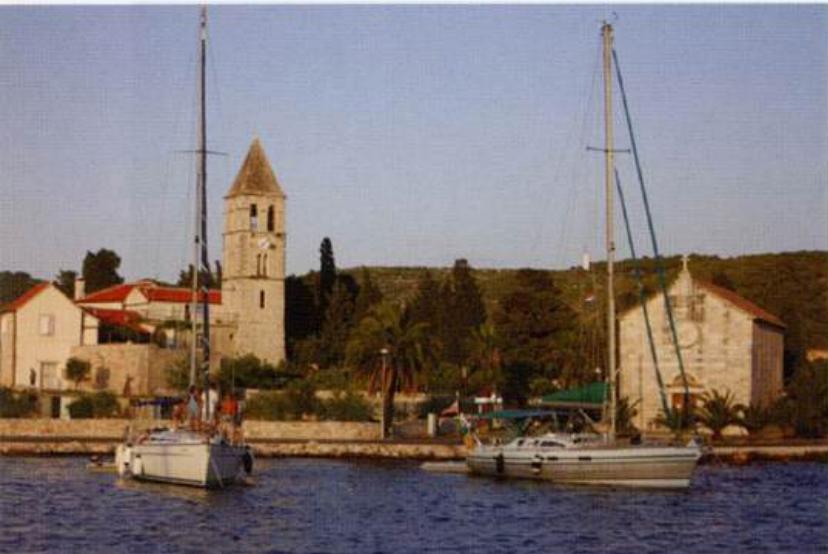
Yachts anchored in the inner part of Viška Luka are protected from E by the peninsula of Prirova with its distinctive church