Professional navigation chart centered on Uvala Stinica
Uvala Stinica
Region: North Adriatic
| Position: 44.723333, 14.898333 | Adriatic Sea / Jadransko more
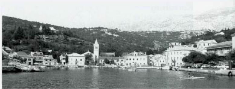
44°43'-4N 14°53'-9E Charts BA 202, MK 7, 9, lmray M24 Approximately l)!;IM north of Jablanac is a bay which can provide shelter in a bora or sirocco. Uvala Stinica divides into a north arm and a south arm. In a bora anchor in the north arm, and in a sirocco anchor in the south arm. Anchor and take lines ashore to the bollards provided. There used t
General
44°43'-4N 14°53'-9E Charts BA 202, MK 7, 9, lmray M24 Approximately l)!;IM north of Jablanac is a bay which can provide shelter in a bora or sirocco. Uvala Stinica divides into a north arm and a south arm. In a bora anchor in the north arm, and in a sirocco anchor in the south arm. Anchor and take lines ashore to the bollards provided. There used to be a sawmill here for wood brought down to the bay by a cable-way. Fresh water is available from the nearby campsite. Luka Starigrad
Adriatic Navigation Guide Images for Uvala Stinica
Adriatic Navigation Guide images and captions provide additional visual reference for this navigation location.