Region: Central Adriatic
| Position: 43.763333, 15.733333 | Adriatic Sea / Jadransko more
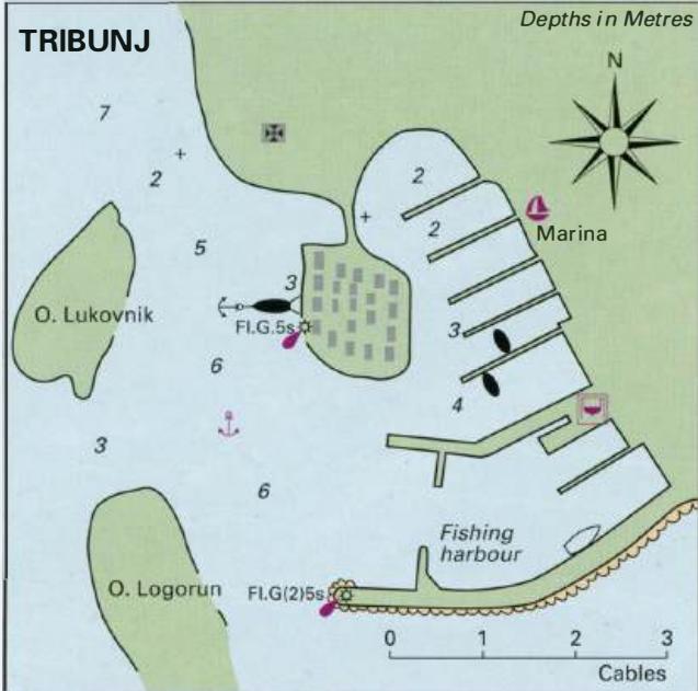
43°45'.8N 15°44"E Charts BA 2774, 271 1, SC 5767, MK 15, lmray M25 lM northwest of Tribunj lies the small inlet of Uvala Sovlje. A small island, 0. Sovljak lies to the SW of the entrance to the bay. The inner part of the bay is filled with small craft and there is little room for a visitor. A boatyard is based at the inlet. The village quay at Trib
General
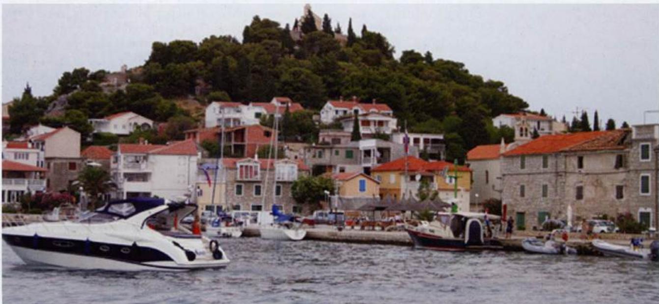
43°45'.8N 15°44"E Charts BA 2774, 271 1, SC 5767, MK 15, lmray M25 lM northwest of Tribunj lies the small inlet of Uvala Sovlje. A small island, 0. Sovljak lies to the SW of the entrance to the bay. The inner part of the bay is filled with small craft and there is little room for a visitor. A boatyard is based at the inlet. The village quay at Tribunj, with the conspicuous church on the hill behind OTOK BRAC The island of Brae is the third largest island in the Adriatic, and it boasts the highest mountain {at 778m) to be found on any of the Adriatic islands. This mountain, Vidova Gora, lies NW of Bol on the S coast of Brae. It is possible to climb to the top of Vidova Gora, or you can take the easy option of an excursion arranged from one of the holiday resorts. The views are magnificent, and it is claimed that on a clear day it is possible to see the Italian coast 85M away. The history of Brae is similar to that of many of the Adriatic islands. It has been inhabited continuously since Neolithic times. The Illyrians settled here, and it was probably their name for stag, brentos, which was the origin of the island's ancient name of 'Brattia'. From 'Brattia' it is but a short step to Brae (pronounced 'bratch'). During the Roman Empire Brae was an important agricultural area. It supplied Roman towns on the mainland, such as Salona, with wine, olives and livestock. After the destruction of Salona by the Avars and Slavs, some refugees fled to Brae and settled on the island. Byzantium ruled Brae for several centuries until it was taken over by Slavs. Between 14 20 and 1797 Brae was part of the Venetian empire, but before this Yachts can berth on the inner side of the central breakwater at Supetar on Otok Brae. The other side is used by ferries the island had been ruled by Slavs, Croats, Bosnians, and, for a short period, by pirates from Omis. Venetian rule has left the most obvious traces in the island's architecture. From 1797 to 1918 Brae was part of the Austro-Hungarian Empire, with brief periods under the French and even more briefly under the Russians. Many of the coastal settlements were abandoned during the early Middle Ages because of the danger of Turkish and pirate raids. Venetian protection enabled some of the villages such as Povlja, PuCisca and Sutivan to be fortified and resettled. Brae is famous for its stone, which has been quarried since at least the time of the Romans. Brae stone went into the construction of Salona and Diocletian's palace in Split. The quarry at the entrance to Pueisca is conspicuous from seaward, and is just one of the stone quarries which is still worked on Brae. In PuCisca several pieces of modern sculpture show that the ancient tradition of stone carving has not been quite forgotten. Traditionally agriculture has been an important way of life on the island, but abandoned terraces lining the coastal slopes are proof that agriculture has declined. Tourism is now considered to. be the most important economic activity, and the area most developed centres around Supetar on the N coast. Supetar, the administrative centre on the island, has a frequent car ferry to Split, and many hotels, restaurants and campsites. Although there is so much emphasis on tourism on Brae, it is surprisingly easy to find a quiet anchorage away from the hotels and discos. Tourism does however mean that most essentials are easily available. The survey of the harbours and anchorages on Brae commences with Supetar, and then follows the coast round in clockwise order. Supetar