Uvala Razetinovac
Region: Central Adriatic
| Position: 43.493333, 16.243333 | Adriatic Sea / Jadransko more
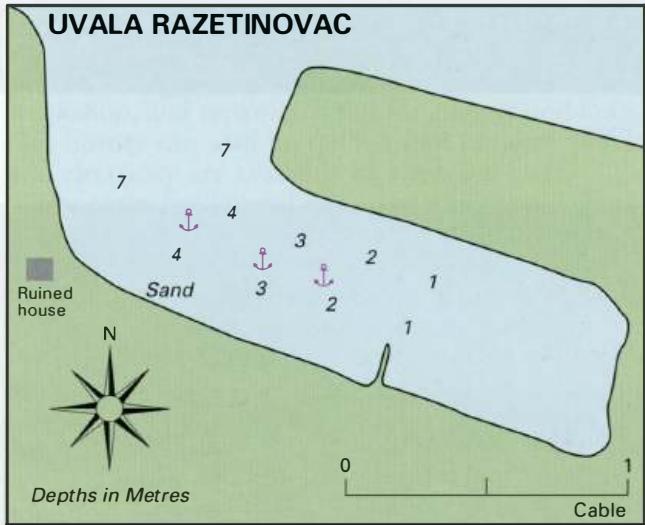
43°29'.6N 16°14'.6E Charts BA 2772, 2774, SC 5767, MK 76, lmray M26 This unspoilt bay, which is not named on the Admiralty chart or MK 16, is situated on the N coast of Otok Ciovo in the S part of Zaljev Saldrun. The bay is rnM east of Rt Okruk and rnM from Trogir. Within the bay, depths range from less than lm to over 4m. The bottom is sand and th
General
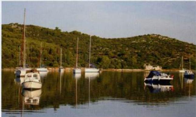
43°29'.6N 16°14'.6E Charts BA 2772, 2774, SC 5767, MK 76, lmray M26 This unspoilt bay, which is not named on the Admiralty chart or MK 16, is situated on the N coast of Otok Ciovo in the S part of Zaljev Saldrun. The bay is rnM east of Rt Okruk and rnM from Trogir. Within the bay, depths range from less than lm to over 4m. The bottom is sand and the holding is good. Inside the anchorage shelter is good from N through E to W. The bay is sheltered from the afternoon breeze, which in this area tends to be from the W. This well-sheltered anchorage is popular with visiting yachts and offers a safe overnight anchorage. The anchorage in Uvala Razetinovac Trogir It is possible to anchor to the W of Trogir, clear of the main Trogir town quay, to the W of the road bridge, is reserved channel leading to the town quay and marina for yachts over 25m in length Trogir