Uvala Racisce
Region: South Adriatic
| Position: 42.928333, 17.166667 | Adriatic Sea / Jadransko more
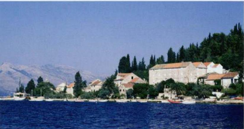
42°55'.7N 17°10'E Charts BA 1574, 683 (detailed), SC 5767, MK 22, 23, lmray M26 There is a sheltered anchorage in Uvala RaCiSc'e (not to be confused with Luka RaCisc'e on the N coast of Korcula). The bay has little to offer scenically, being lined with houses, and it has a number of moorings. The bay is located SW of OtoCic' Vrnik. For the approach
General
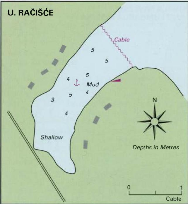
42°55'.7N 17°10'E Charts BA 1574, 683 (detailed), SC 5767, MK 22, 23, lmray M26 There is a sheltered anchorage in Uvala RaCiSc'e (not to be confused with Luka RaCisc'e on the N coast of Korcula). The bay has little to offer scenically, being lined with houses, and it has a number of moorings. The bay is located SW of OtoCic' Vrnik.
Approach
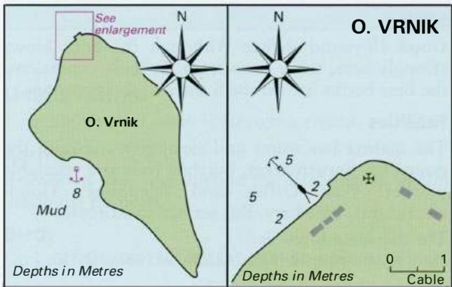
For the approach to Uvala Racisc'e, see the entry above for OtoCic' Vrnik. Anchor Anchor inside the inlet in a suitable depth, SW of the cable which crosses the inlet near its entrance. Consider buoying your anchor because of the moonngs.
Facilities
The nearest facilities are at Lumbarda, a short distance away, where there are shops, Post Office, and restaurants. Bus service to Korcula town. Lumbarda
Adriatic Navigation Guide Images for Uvala Racisce
Adriatic Navigation Guide images and captions provide additional visual reference for this navigation location.