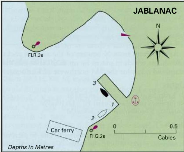
Professional navigation chart centered on Uvala Prizna
Uvala Prizna
Region: North Adriatic
| Position: 44.601667, 14.973333 | Adriatic Sea / Jadransko more
44°36'-1N 14°58'-4E Charts BA 202, MK 9, 70, lmray M25 Uvala Prizna, which is situated approximately I1,;M northwest of the light on Rt Jurifoica, can be identified by a lit beacon (Q(2)5s8m8M) on a reef to the northwest of the entrance, and from seaward by the red scar of a road which leads down to the head of the bay. A car ferry quay has been bu
General
44°36'-1N 14°58'-4E Charts BA 202, MK 9, 70, lmray M25 Uvala Prizna, which is situated approximately I1,;M northwest of the light on Rt Jurifoica, can be identified by a lit beacon (Q(2)5s8m8M) on a reef to the northwest of the entrance, and from seaward by the red scar of a road which leads down to the head of the bay. A car ferry quay has been built at the head of Uvala Prizna and the bay is no longer a suitable anchorage for a yacht. Uvala Zavratnica
Adriatic Navigation Guide Images for Uvala Prizna
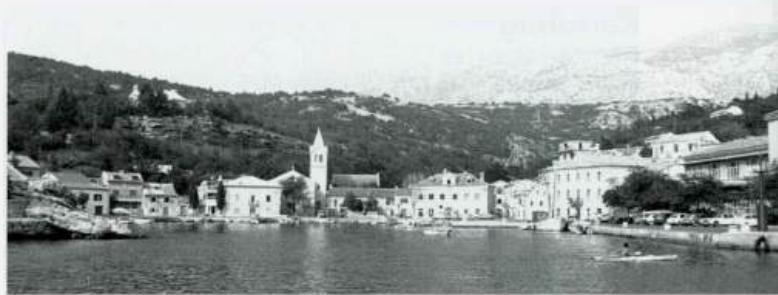
Adriatic Navigation Guide images and captions provide additional visual reference for this navigation location.