Uvala Pokrivenik
Region: South Adriatic
| Position: 43.15, 16.89 | Adriatic Sea / Jadransko more
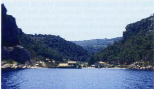
43°09'N 16°53"4E Charts BA 1574, SC 5767, MK 19, 20 lmray M26 Uvala Pokrivenik is a large bay open N and NE with a number of coves within it where it is possible to stop for lunch. It is situated 8YzM east of Jelsa on the N coast of Hvar. :, , ..,c, Give Tanki Rat, the headland to the NW, a wide berth because of depths of less than 3m extending sea
General
43°09'N 16°53"4E Charts BA 1574, SC 5767, MK 19, 20 lmray M26 Uvala Pokrivenik is a large bay open N and NE with a number of coves within it where it is possible to stop for lunch. It is situated 8YzM east of Jelsa on the N coast of Hvar. :, , ..,c,
Approach
Give Tanki Rat, the headland to the NW, a wide berth because of depths of less than 3m extending seawards. Pass it at a minimum distance of 11/2 cables. The headland on the E side of the entrance, Rt Zarace, should also not be approached too closely. The inlet can be recognised by a number of houses around it. Anchor Anchor in 6m.
Shelter
The bay is sheltered from NW through S to SE. Sucuraj