Uvala Movarstica
Region: Central Adriatic
| Position: 43.49, 16.278333 | Adriatic Sea / Jadransko more
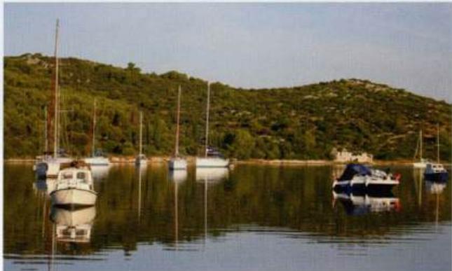
43°29'-4N 16°16".7E Charts BA 2772, SC 5767, MK 76, lmray M26 Uvala Movadtica is located on the south coast of Otok Ciovo, SM west of Rt Ciovo. It is a large bay open S and SE where it is possible to anchor in depths of between Sm and 10m. The bottom is sand and the holding is good. This anchorage is particularly useful if you are overtaken by a bo
General
43°29'-4N 16°16".7E Charts BA 2772, SC 5767, MK 76, lmray M26 Uvala Movadtica is located on the south coast of Otok Ciovo, SM west of Rt Ciovo. It is a large bay open S and SE where it is possible to anchor in depths of between Sm and 10m. The bottom is sand and the holding is good. This anchorage is particularly useful if you are overtaken by a bora when on passage along this S coast of Otok Ciovo. Take lines ashore for added security. There are a number of houses around the bay. Uvala Duga