Professional navigation chart centered on Uvala Liski
Uvala Liski
Region: North Adriatic
| Position: 44.591667, 14.388333 | Adriatic Sea / Jadransko more
44°35'.5N 14°23'.3E Charts BA 202, MK 8, Im ray M24 Uvala Liski is a bay, open N, on the W coast of 0. Losinj approximately 2M northeast of the light on Rt Kurila. A low and rocky islet, Hr. Karbarus, lying 5 cables SW of the W headland of the bay (Rt Liski) is connected to the main island by a shallow spit. This islet can be difficult to see. The
General
44°35'.5N 14°23'.3E Charts BA 202, MK 8, Im ray M24 Uvala Liski is a bay, open N, on the W coast of 0. Losinj approximately 2M northeast of the light on Rt Kurila. A low and rocky islet, Hr. Karbarus, lying 5 cables SW of the W headland of the bay (Rt Liski) is connected to the main island by a shallow spit. This islet can be difficult to see. The approach is otherwise clear of dangers. Anchor towards the head of the bay in 3-8m. The bottom is sand and weed, and the holding is good. Shelter is good from S winds, but the bay is exposed to the bora (NE). There are a few holiday homes around the shores of the bay and two piers. One pier is ruined and the other is used by local boats. Osorski Kanai Details of the canal separating Cres and Losinj are given under the entry for Osor, Otok Cres. Nerezine
Adriatic Navigation Guide Images for Uvala Liski
Adriatic Navigation Guide images and captions provide additional visual reference for this navigation location.
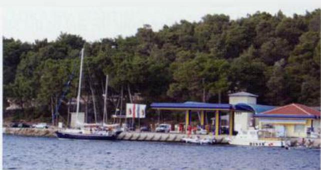
The fuel berth in the north east part of the harbour of Mali Lošinj is close to the marina and the entrance to the canal connecting to the east side of the island