← Back to navigation map
Professional navigation chart centered on Uvala Knez
Uvala Knez
Region: Central Adriatic
| Position: 44.033333, 15.136667 | Adriatic Sea / Jadransko more
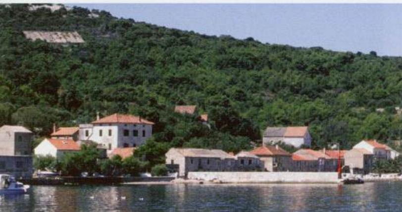
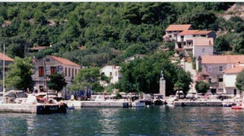
44°02'N 15°08"2E Charts BA 2711, 515, SC 5767, MK 13, lmray M25 The harbour at Uvala Knez, which lies SW of the offlying island of 0. Knefak, has a distinctive war memorial at its head. There are no dangers in the immediate approach. If approaching from IZ Veli, Luka Komaseva
General
44°02'N 15°08"2E Charts BA 2711, 515, SC 5767, MK 13, lmray M25
Approach
The harbour at Uvala Knez, which lies SW of the offlying island of 0. Knefak, has a distinctive war memorial at its head. There are no dangers in the immediate approach. If approaching from IZ Veli, Luka Komaseva
Adriatic Navigation Guide Images for Uvala Knez
Adriatic Navigation Guide images and captions provide additional visual reference for this navigation location.