Uvala Klek
Region: South Adriatic
| Position: 42.941667, 17.565 | Adriatic Sea / Jadransko more
42°56'.5N 17°33'.9E The anchorage in Uvala Klek is off a wide bathing beach. Just off the entrance, SE of the W promontory, there is an islet with a chapel (referred to as a ruined lighthouse on Chart BA 269) on it. This islet is not lit at night. It is possible to pass close to the N of the islet, (depths of 5.5m), but if in doubt pass to the S. A
General
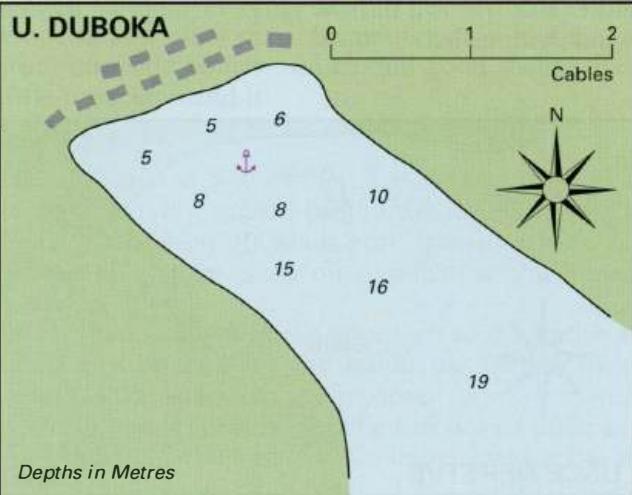
42°56'.5N 17°33'.9E The anchorage in Uvala Klek is off a wide bathing beach. Just off the entrance, SE of the W promontory, there is an islet with a chapel (referred to as a ruined lighthouse on Chart BA 269) on it. This islet is not lit at night. It is possible to pass close to the N of the islet, (depths of 5.5m), but if in doubt pass to the S. Anchor in the bay in Sm or less. In strong Nor NE winds take a line ashore to prevent your anchor dragging into deeper water. There is a campsite ashore, as well as a restaurant and ice-cream parlour. Uvala Lopata
Adriatic Navigation Guide Images for Uvala Klek
Adriatic Navigation Guide images and captions provide additional visual reference for this navigation location.