Uvala Jasenova
Region: North Adriatic
| Position: 45.141667, 14.74 | Adriatic Sea / Jadransko more
45°08'.5N 14°44'-4E Charts BA 2719, MK 5, lmray M24 Uvala Jasenova is a wooded inlet on the mainland coast 3 cables NW of the light on Rt Tokal. It is not named on the Croatian chart MK 5. The inlet, which is a bora haven, can be recognised by a war memorial in the form of an obelisk on the headland The inner pier at the harbour of Luka Novi (Novi
General
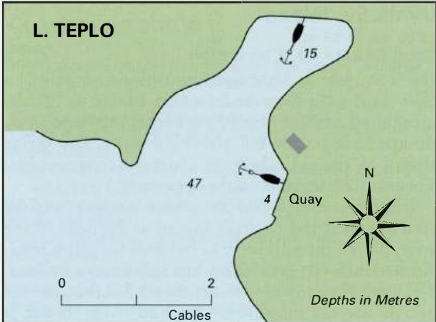
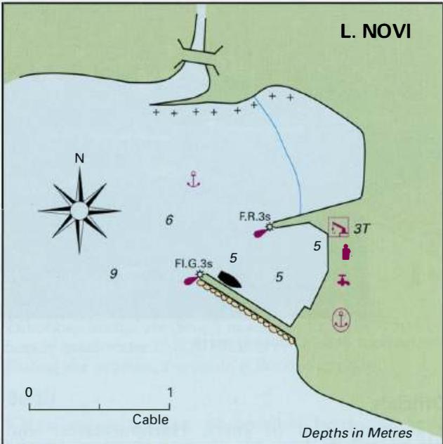
45°08'.5N 14°44'-4E Charts BA 2719, MK 5, lmray M24 Uvala Jasenova is a wooded inlet on the mainland coast 3 cables NW of the light on Rt Tokal. It is not named on the Croatian chart MK 5. The inlet, which is a bora haven, can be recognised by a war memorial in the form of an obelisk on the headland The inner pier at the harbour of Luka Novi (Novi Vinodolski) in the Velebitski Kanai, with the distinctive church belfry in the background on the NW side of the entrance. The cove is generously provided with bollards. Anchor in lOm and take lines ashore to these bollards. There are depths of 4m towards the head of the cove. Shelter is good from NW through N to E. Uvala Siana
Adriatic Navigation Guide Images for Uvala Jasenova
Adriatic Navigation Guide images and captions provide additional visual reference for this navigation location.