Uvala Jakisnica
Region: North Adriatic
| Position: 44.643333, 14.783333 | Adriatic Sea / Jadransko more
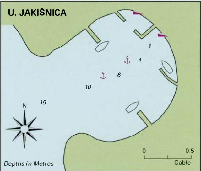
44°38'.6N 14°47'E Charts BA 202, MK 9, Im ray M25 Uvala Jakifoica is a small inlet 6.9M northwest of Novalja and 3'4M southeast of Tovarnele. The inlet offers good shelter from all but S, W and SW winds. There are a few fishermen's cottages and holiday homes around the bay. The approach is straightforward with no off-lying dangers. There are no nav
General
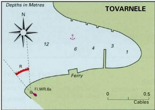
44°38'.6N 14°47'E Charts BA 202, MK 9, Im ray M25 Uvala Jakifoica is a small inlet 6.9M northwest of Novalja and 3'4M southeast of Tovarnele. The inlet offers good shelter from all but S, W and SW winds. There are a few fishermen's cottages and holiday homes around the bay. The approach is straightforward with no off-lying dangers. There are no navigational lights here. Uvala Jakifoica can be identified by the distinctive concrete cross on the spire, beyond the head of the bay. Anchor in 4-lOm (sand and weed) and take a line ashore. There is a shop close to the inlet as well as a small restaurant. Tovarnele
Adriatic Navigation Guide Images for Uvala Jakisnica
Adriatic Navigation Guide images and captions provide additional visual reference for this navigation location.