Uvala Grscica
Region: South Adriatic
| Position: 42.906667, 16.778333 | Adriatic Sea / Jadransko more
42°54'-4N 16°46'.7E Charts BA 2772, 1574, SC 5767, MK 27, 22, 23, lmray M26 Gr5Cica is a small harbour, crowded with the small open boats of local inshore fishermen. It can be difficult to find a berth, and a submerged rock in the cove further restricts the room available. There are a number of holiday homes around the bay. The harbour is located l
General
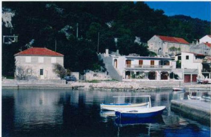
42°54'-4N 16°46'.7E Charts BA 2772, 1574, SC 5767, MK 27, 22, 23, lmray M26 Gr5Cica is a small harbour, crowded with the small open boats of local inshore fishermen. It can be difficult to find a berth, and a submerged rock in the cove further restricts the room available. There are a number of holiday homes around the bay.
Approach
The harbour is located less than a mile to the W of Uvala PriZba Mali. Approaching from E beware of Hrid Cerin, the small islet off Prizba, and the shoals to the N of 0. Stupa. Nearer GrsCica keep clear of The quiet little harbour of Uvala Grscica on Otok Korcula the SE end of 0. Kosar, where there is a shoal. Approaching from S steer midway between 0. Kosar with its off-lying shoal and 0. Stupa. The passage from Karbuni passing between Otok Koreula and the off-lying islands is possible in good weather and good visibility. Pass to the N of the islet of 0. Kosar. This channel is narrow. The houses around the inlet are easily seen as the harbour is neared. Note that there is a submerged rock with just 1.2m over it in the centre of the outer harbour, SW of the slipway (see plan). The rock is unmarked. To avoid it, keep close to the NW shore of the bay before manoeuvring into position.
Berth
Go bow-to the quay near the slipway, making sure that your stern anchor clears the rock. The bottom is sand. Anchor There is insufficient room to anchor, unless you take a line ashore to restrict your swinging room.
Shelter
The harbour is open to SW, and swell penetrates if there is any S in the wind. The shelter is good from other directions.
Facilities
There is a kiosk near the harbour which sells beer and wine, but bread, groceries, fruit and vegetables are not available in the village itself. Telephone. Bistro. Luka Karbuni
Adriatic Navigation Guide Images for Uvala Grscica
Adriatic Navigation Guide images and captions provide additional visual reference for this navigation location.