← Back to navigation map
Professional navigation chart centered on Uvala Gornja Krusica

Uvala Gornja Krusica

Region: Central Adriatic | Position: 43.356667, 16.371667 | Adriatic Sea / Jadransko more
43°21'-4N 16°22'.3E Charts BA 2712, SC 5767, MK 76, lmray M26 Uvala Gornja Krusica is a quiet bay surrounded by trees and a few holiday houses just over 1M southeast of Stomorska. The bay, which is not named on the latest Admiralty chart, lies S of Krusicki rat. If approaching from S beware of the rocky spit extending from Rt Tanki Rat (also unname

General

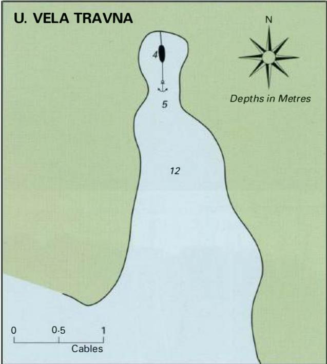
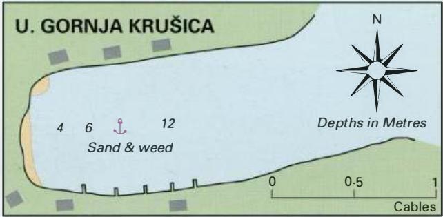
43°21'-4N 16°22'.3E Charts BA 2712, SC 5767, MK 76, lmray M26 Uvala Gornja Krusica is a quiet bay surrounded by trees and a few holiday houses just over 1M southeast of Stomorska. The bay, which is not named on the latest Admiralty chart, lies S of Krusicki rat. If approaching from S beware of the rocky spit extending from Rt Tanki Rat (also unnamed on the chart!), a headland 5 cables SE of Krusicki rat. Uvala Gornja Krusica is sheltered from all winds except NE and E. Anchor in 4-12m. The holding in sand is good. Take a line to a tree if required. Uvala Vela Travna

Adriatic Navigation Guide Images for Uvala Gornja Krusica

Adriatic Navigation Guide images and captions provide additional visual reference for this navigation location.
Uvala Gornja Krusica Adriatic Pilot image
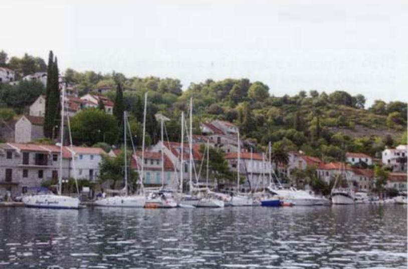
The village quay at Stomorska
Uvala Gornja Krusica Adriatic Pilot image