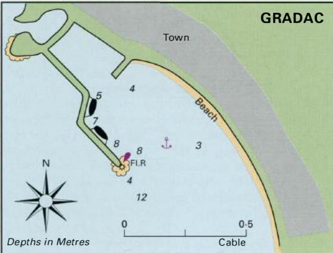
Uvala Drvenik (Donja Vala)
Region: South Adriatic
| Position: 43.153333, 17.253333 | Adriatic Sea / Jadransko more
43°09'.2N 17°15'.2E Charts BA 1574, SC 5767, MK 20, lmray M26 Uvala Drvenik is a small bay with a crowded fishing harbour on one side of the bay, and a separate pier for the car ferry that goes to Sucuraj on Otok Hvar on the opposite side. There is no room in the fishing harbour for visiting yachts. It is, however, possible to anchor in the bay cle
General
43°09'.2N 17°15'.2E Charts BA 1574, SC 5767, MK 20, lmray M26 Uvala Drvenik is a small bay with a crowded fishing harbour on one side of the bay, and a separate pier for the car ferry that goes to Sucuraj on Otok Hvar on the opposite side. There is no room in the fishing harbour for visiting yachts. It is, however, possible to anchor in the bay clear of the ferry berth, the fishing harbour and the swimming area. Anchor in 7m, sand and mud, good holding. The bay is sheltered from N and E only. A light F.G.2sSm3M is exhibited from the end of the ferry pier. Facilities in the village consist of a shop, Post Office, tourist information centre, hotel and a restaurant. lgrane 43°11'.7N 17°08'.8E Charts BA 1574, SC 5767, MK 20, lmray M26 The old village of Igrane climbs a hill behind the harbour. The hill is surmounted by a church with a spire and a square tower nearby. Down around the bay and the harbour there are many new buildings catering for the needs of the holidaymakers. Every other one seems to be a bar, ice-cream parlour or a restaurant! Igrane is located 4M southeast of Podgora and nearly SM northwest of Rt Sucuraj on Otok Hvar.
Approach
The hill with the houses, church and tower helps to identify the harbour, although admittedly many of the villages look similar along this stretch of coast! There are no dangers in the immediate approach to the harbour, but there is a rock close inshore 1 .4 M southeast of the harbour. No navigational lights.
Berth
Tie up alongside the inner side of the breakwater. Depths range from 2m near the restaurant to 4m near the end of the breakwater. Anchor Anchor in the bay in a suitable depth. The bottom is sand and mud, good holding, although in a bora it is advisable to take lines ashore for added security.
Shelter
The harbour is well sheltered from S through W to NE.
Facilities
There is no water tap on the quay, but water can be obtained from the beach showers. Supermarket on the main road, fresh fruit and vegetables sold near the harbour. Post Office, telephones. Tourist information. Hotels, restaurants, cafe/bars. Bus service. 43°12'.9N 17°06'.9E Just over 2M northwest of Igrane is a bay with a shallow small-boat harbour and a pier. It is possible to anchor near the harbour in 8m, or near the pier in lOm (sand). If the pier is not in use it may be possible to tie up alongside. The anchorage is however exposed and is not recommended for overnight use. Podgora
Adriatic Navigation Guide Images for Uvala Drvenik (Donja Vala)
Adriatic Navigation Guide images and captions provide additional visual reference for this navigation location.