Professional navigation chart centered on Uvala Cavlena
Uvala Cavlena
Region: North Adriatic
| Position: 45.103333, 14.468333 | Adriatic Sea / Jadransko more
45°06"2N 14°28"1E Charts BA 2719, MK 5, lmray M24 If overtaken by a bora or strong S or E winds it is possible to shelter in Uvala Cavlena, a wide bay to the NE of Rt Glavotok. There is a convent on Rt Glavotok and a pier on which there is a light Anchor close to the shore in Uvala in a position to give the best shelter. The bay is exposed to wind
General
45°06"2N 14°28"1E Charts BA 2719, MK 5, lmray M24 If overtaken by a bora or strong S or E winds it is possible to shelter in Uvala Cavlena, a wide bay to the NE of Rt Glavotok. There is a convent on Rt Glavotok and a pier on which there is a light Anchor close to the shore in Uvala in a position to give the best shelter. The bay is exposed to wind and seas from N and W. Malinska
Adriatic Navigation Guide Images for Uvala Cavlena
Adriatic Navigation Guide images and captions provide additional visual reference for this navigation location.
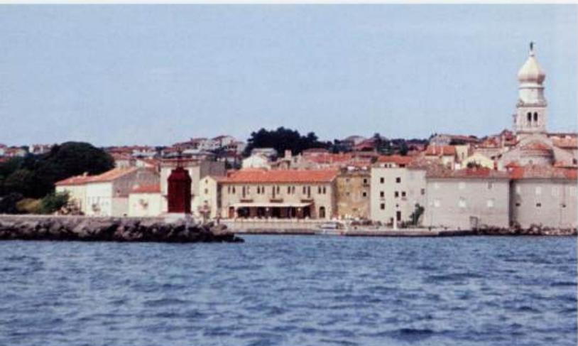
The entrance to Krk harbour. The town walls and belfry are distinctive