Uvala Canj
Region: South Adriatic
| Position: 42.16, 19.003333 | Adriatic Sea / Jadransko more
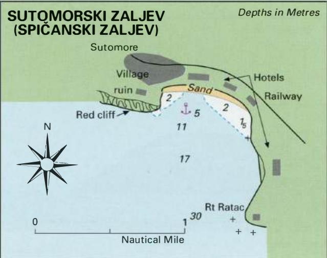
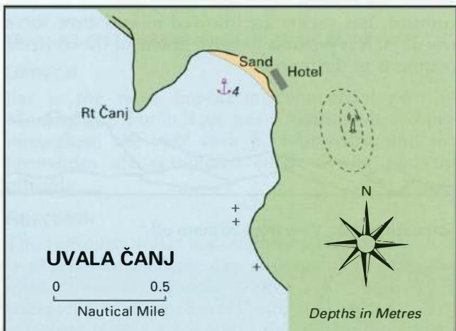
42°09'.6N 19°00'.2E Charts BA 1582, MK 28, lmray M27 Uvala Canj is nearly 4M from Sutomorski Zaljev and is another pleasant lunchtime anchorage. It is a popular bathing beach, with a modern hotel. A radio mast on the hill E of the bay and the large hotel at the head of the bay help identify U. Canj. Beware of rocks 1 cable offshore fringing the coa
General
42°09'.6N 19°00'.2E Charts BA 1582, MK 28, lmray M27 Uvala Canj is nearly 4M from Sutomorski Zaljev and is another pleasant lunchtime anchorage. It is a popular bathing beach, with a modern hotel.
Approach
A radio mast on the hill E of the bay and the large hotel at the head of the bay help identify U. Canj. Beware of rocks 1 cable offshore fringing the coast from Crni Rat in the S approach to U. Canj. Anchor Anchor in 4m sand, good holding.
Shelter
Good shelter in N and NE winds. Some shelter from NW winds. Exposed to winds and swell from other directions.
Facilities
There is a hotel ashore. Petrovac Na Moru Mountains Trees Petrovac na Moru
Adriatic Navigation Guide Images for Uvala Canj
Adriatic Navigation Guide images and captions provide additional visual reference for this navigation location.