← Back to navigation map
Professional navigation chart centered on Uvala Brsanj
Uvala Brsanj
Region: Central Adriatic
| Position: 44.023333, 15.151667 | Adriatic Sea / Jadransko more
44°01'-4N 15°09'-1E Charts BA 2711, 515, SC 5767, MK 13, lmray M25 5 cables SE of Komaseva, NW of Rt Arta, a new road and ferry quay have been built. Just S of the ferry berth there is a rubble breakwater behind which it is possible to anchor in Sm, or to anchor and secure bows to the breakwater. N entrance to Uvala Brsanj Fl(2)G.5s6m4M. This bay i
General
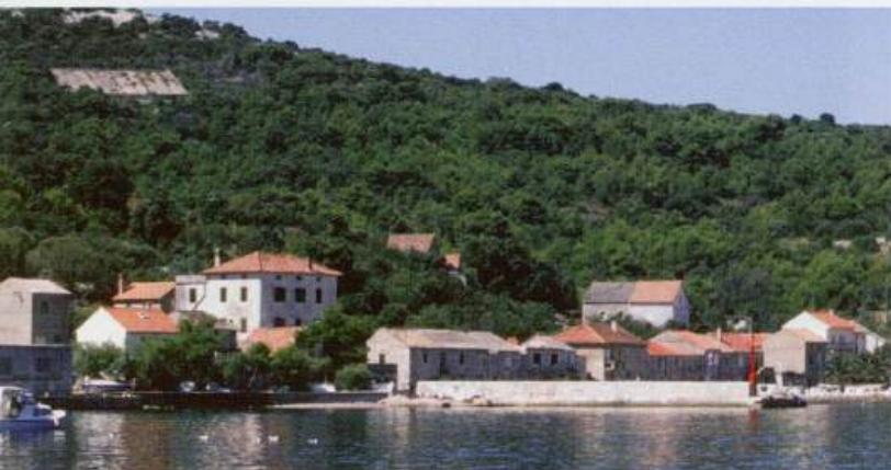
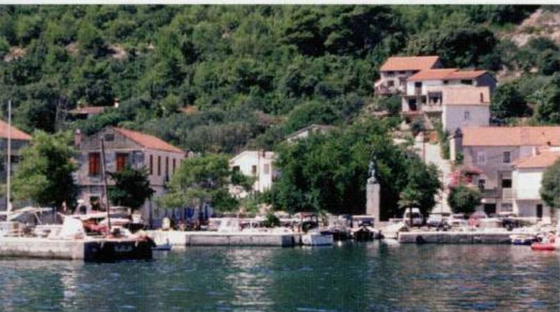
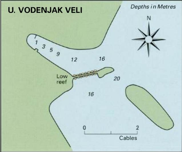
44°01'-4N 15°09'-1E Charts BA 2711, 515, SC 5767, MK 13, lmray M25 5 cables SE of Komaseva, NW of Rt Arta, a new road and ferry quay have been built. Just S of the ferry berth there is a rubble breakwater behind which it is possible to anchor in Sm, or to anchor and secure bows to the breakwater. N entrance to Uvala Brsanj Fl(2)G.5s6m4M. This bay is a peaceful and sheltered overnight anchorage. Uvala Vodenjak Veli
Adriatic Navigation Guide Images for Uvala Brsanj
Adriatic Navigation Guide images and captions provide additional visual reference for this navigation location.