← Back to navigation map
Professional navigation chart centered on Uvala Beretusa
Uvala Beretusa
Region: Central Adriatic
| Position: 43.816667, 15.891667 | Adriatic Sea / Jadransko more
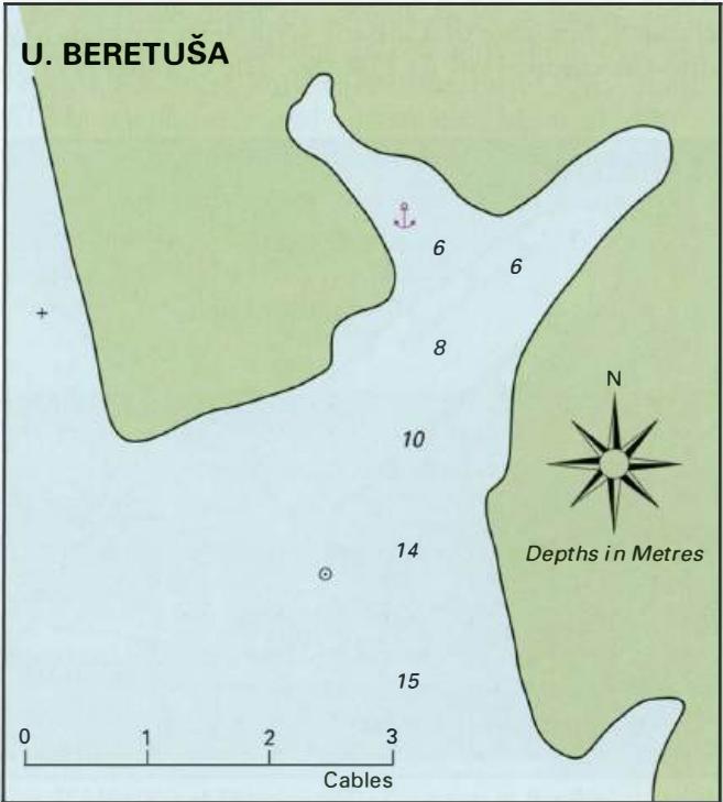
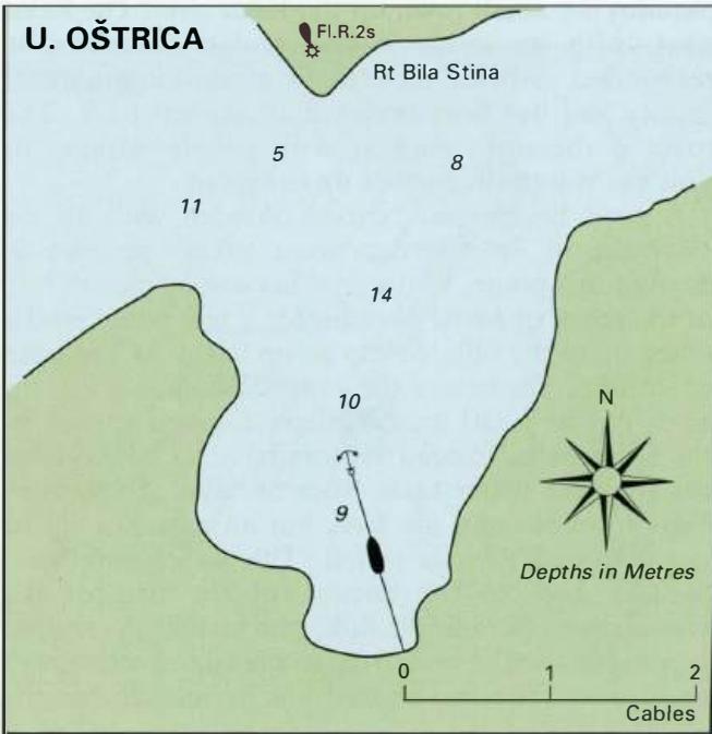
43°49'N 15°53'.5E Charts BA 271 1, 2773 (detailed), SC 5767, lmray M25 Uvala Beretu5a is located N of the light on Rt Ostrica Fl.G.2s6m1M at the entrance to the channel up to Skradin. Just to the S of the entrance to Uvala BeretuSa there is an unlit beacon, which helps locate the entrance. Pass to the E of the beacon. A few small boats are moored o
General
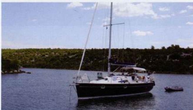
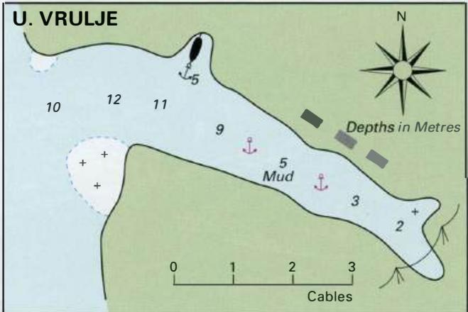
43°49'N 15°53'.5E Charts BA 271 1, 2773 (detailed), SC 5767, lmray M25 Uvala Beretu5a is located N of the light on Rt Ostrica Fl.G.2s6m1M at the entrance to the channel up to Skradin. Just to the S of the entrance to Uvala BeretuSa there is an unlit beacon, which helps locate the entrance. Pass to the E of the beacon. A few small boats are moored off a quay in the NW arm, but the anchorage is otherwise quiet. It is sheltered from all directions. Anchor in depths of 6m in the NW arm. The holding on a bottom of mud is good. Uvala Vrulje
Adriatic Navigation Guide Images for Uvala Beretusa
Adriatic Navigation Guide images and captions provide additional visual reference for this navigation location.