Uvala Bele Lucice
Region: Central Adriatic
| Position: 43.838333, 15.26 | Adriatic Sea / Jadransko more
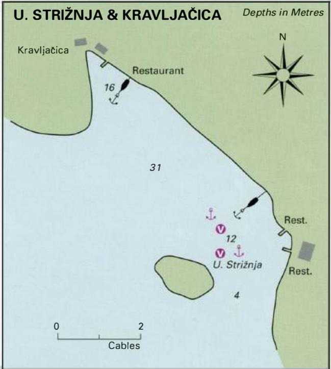
43°50'.3N 15°15"6E Charts BA 271 1, SC 5767, MK 14, lmray M25 From the chart the bay at Uvala Bele LuCice appears to be a good anchorage. It is also mentioned as one of the anchorages where yachts are allowed to stay overnight. The bay is, however, deep, with depths in excess of 30m. Anchoring is therefore impractical. In 2007 there were no visitor
General
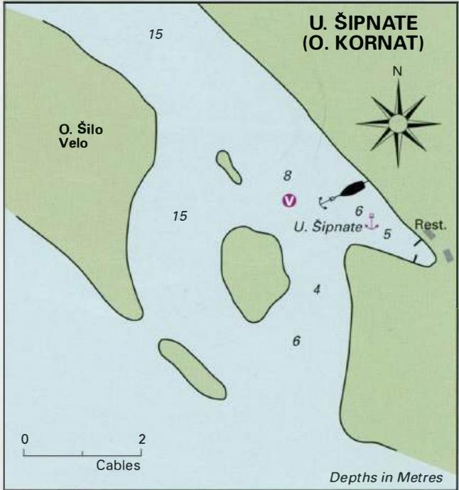
43°50'.3N 15°15"6E Charts BA 271 1, SC 5767, MK 14, lmray M25 From the chart the bay at Uvala Bele LuCice appears to be a good anchorage. It is also mentioned as one of the anchorages where yachts are allowed to stay overnight. The bay is, however, deep, with depths in excess of 30m. Anchoring is therefore impractical. In 2007 there were no visitors' buoys. The next bay NW of Uvala Bele Lucice, about 6 cables distant, has depths of 4m in it. The bottom however consists of sheets of smooth rock and anchoring here, even with a fisherman anchor, is not advisable. Uvala Sipnate