Uvala Banja
Region: South Adriatic
| Position: 42.96, 17.12 | Adriatic Sea / Jadransko more
42°57"6N 17°07'.2E Charts BA 1574, 683 (detailed), SC 5767, MK 22, lmray M26 The bay at Uvala Banja is surrounded by wooded slopes, with a number of houses amongst the trees. It is lM west of Korcula. If approaching from W beware of the unlit beacon marking a rock off the entrance to Uvala Vrbovica. From E give the headland W of Koreula town a good
General
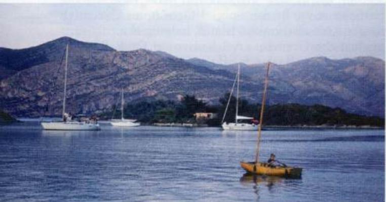
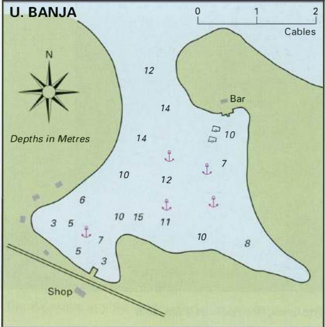
42°57"6N 17°07'.2E Charts BA 1574, 683 (detailed), SC 5767, MK 22, lmray M26 The bay at Uvala Banja is surrounded by wooded slopes, with a number of houses amongst the trees. It is lM west of Korcula.
Approach
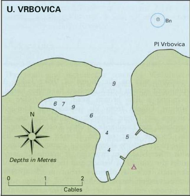
If approaching from W beware of the unlit beacon marking a rock off the entrance to Uvala Vrbovica. From E give the headland W of Koreula town a good berth because of a shallow spit extending N from it. When entering the inlet do not pass too closely to the W headland. It has depths of less than Sm extending N from it. Anchor Anchor in 7m. The bottom is sand and shingle with patches of weed. The holding is good, but in a bora anchor on the E side of the bay and take lines ashore.
Shelter
Good shelter from all directions except due N, although some shelter from N can be obtained tucked in the E side of the bay.
Facilities
Small grocery store at the head of the bay, bar. Bus service to Korcula. OTOK VIS Charts BA 2712, 2774, SC 5767, MK 17, Im ray M26 Otok Vis is the largest of the most westerly islands belonging to Croatia. It has been inhabited for thousands of years. Stone Age people lived on Vis, and then the Illyrians. In 397BC Greek settlers arrived and founded a colony they called Issa. Their Until the summer of 1989 foreigners were not allowed to land on Vis or its surrounding islands, nor were they allowed to navigate within 300m of their shores. As a result of this isolation the island of Vis has not been spoilt by major tourist developments. Agriculture, especially viniculture, and fishing still play an important part in the life of the local community. Vis has been famed for its excellent wine for over 2,000 years. Besides the main harbours of Viska Luka and Komifa, there are a number of other anchorages, which are worth visiting. The main one (described below) is Uvala Stoncica, but there are also delightful sheltered anchorages on the E and SE coasts of Otok Vis and a few on the N coast particularly at Luka RogaCic. Viska Luka