Turanj
Region: Central Adriatic
| Position: 43.965, 15.413333 | Adriatic Sea / Jadransko more
43°57'-9N 15°24'.8E Charts BA 271 1, 2773 (detailed), SC 5767, MK 13, lmray M25 Turanj is a small holiday village with a harbour located nearly 7 cables NW of Filip Jakov. The coast is comparatively shallow in this area. PliCina Minerva, marked by a light located approximately 2 cables W of the harbour, has depths of 4.2m and extends 2 cables SE fr
General
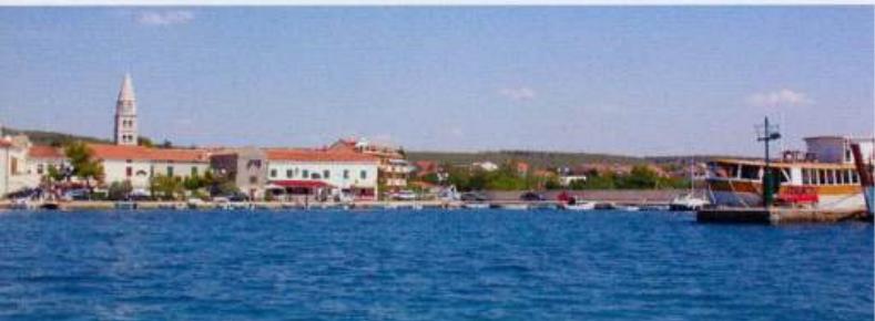
43°57'-9N 15°24'.8E Charts BA 271 1, 2773 (detailed), SC 5767, MK 13, lmray M25 Turanj is a small holiday village with a harbour located nearly 7 cables NW of Filip Jakov.
Approach
The coast is comparatively shallow in this area. PliCina Minerva, marked by a light located approximately 2 cables W of the harbour, has depths of 4.2m and extends 2 cables SE from the light.
Lights
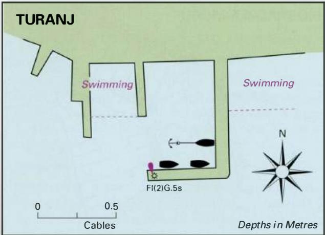
Plicina Minerva Fl.G.3s7m4M Turanj mole head Fl(2)G.5s7m4M
Berth
Tie up along the inner side of the breakwater, just inside the entrance to starboard.
Shelter
Good shelter from N and NE winds, but poor shelter in winds from other directions. Strong S and SE winds send seas over the harbour walls.
Facilities
General grocery shop, Post Office, and several cafe/bars and restaurants. Turanj harbour. If there is room visitors can lie alongside the pier with the light Sukosan and Marina Dalmacija
Adriatic Navigation Guide Images for Turanj
Adriatic Navigation Guide images and captions provide additional visual reference for this navigation location.