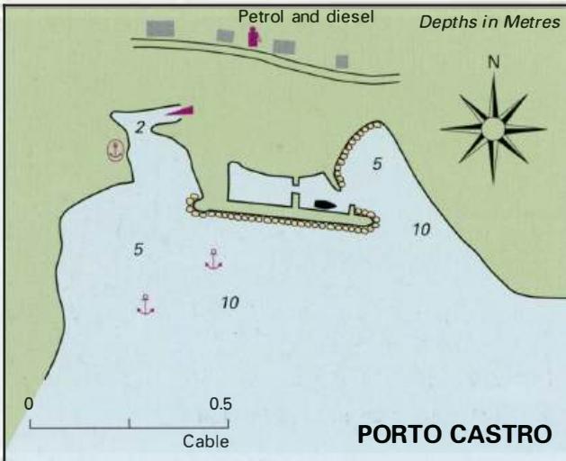
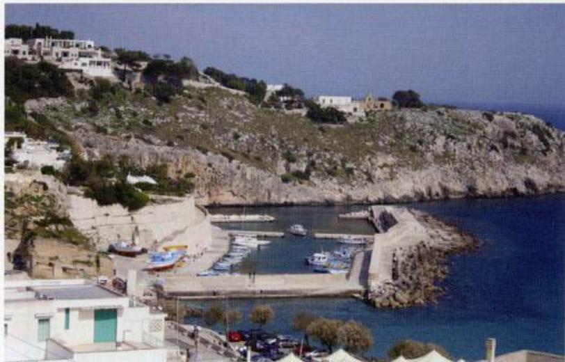
Professional navigation chart centered on Tricase (Marina di Porto)
Tricase (Marina di Porto)
Region: South Adriatic
| Position: 39.931667, 18.396667 | Adriatic Sea / Jadransko more
39°55'.9N 18°23'.8E Charts BA 187, 188 There is a small but picturesque natural harbour at Tricase, popular with holidaymakers. Tricase can be identified by the yellow retaining wall supporting the coast road. The harbour entrance lies to the N of the yellow wall. There are no dangers in the approach to Tricase, but beware of swimmers in the harbou
General
39°55'.9N 18°23'.8E Charts BA 187, 188 There is a small but picturesque natural harbour at Tricase, popular with holidaymakers.
Approach
Tricase can be identified by the yellow retaining wall supporting the coast road. The harbour entrance lies to the N of the yellow wall. There are no dangers in the approach to Tricase, but beware of swimmers in the harbour entrance. Keep to the centre of the channel when entering.
Lights
Headland on the E side of the harbour entrance I o.G.2s10m4M
Berth
Moor at the quay on the E side of the harbour as space permits. The inner basin has no space for visitors. Anchor It is no longer possible to anchor in the part of the harbour.
Shelter
Under normal conditions the harbour enjoys allround shelter. Strong winds from SE and E make entry dangerous, and create a big sea in the harbour. The best helter is in the inner basin.
Facilities
Water and electricity are available in the new basin. Water is also available from a tap in the wall, on the W side of the harbour. Toilets. Petrol and diesel are available from pumps on the S quayside of the outer basin. If no-one is in attendance there is a telephone number to contact for service. Two fixed cranes at the harbour. Telephone. A small general store, hotel, restaurant and bars near the harbour. Bus service. All other facilities, including a railway station, at the main village of Tricase about lM inland. Santa Maria di Leuca
Adriatic Navigation Guide Images for Tricase (Marina di Porto)
Adriatic Navigation Guide images and captions provide additional visual reference for this navigation location.