Tivat
Region: South Adriatic
| Position: 42.43, 18.7 | Adriatic Sea / Jadransko more
42°25'-8N 18°42'E Charts BA 1582, MK27, lmray M27 Tivar, on the E shore of Tivatski Zaljev, is an administrative centre and tourist resort. It has an international airport nearby, and used to have a naval dockyard. This is now being redeveloped as a major yacht harbour, Porto Montenegro, which will accommodate superyachts. Approaching from W or N g
General
42°25'-8N 18°42'E Charts BA 1582, MK27, lmray M27 Tivar, on the E shore of Tivatski Zaljev, is an administrative centre and tourist resort. It has an international airport nearby, and used to have a naval dockyard. This is now being redeveloped as a major yacht harbour, Porto Montenegro, which will accommodate superyachts.
Approach
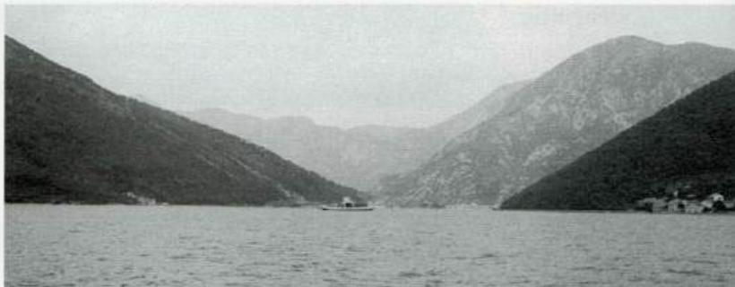
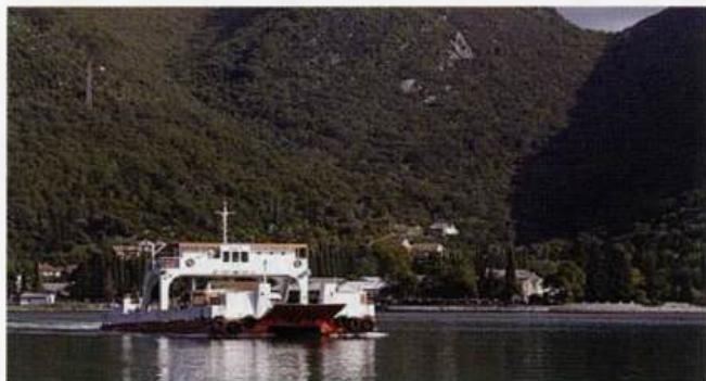
Approaching from W or N give the naval dockyard a wide berth. To approach within YzM is prohibited. Also beware of Pl. Tunja (Jezieac), a rock and shoal extending approximately YzM northwest from 0. Stradioti. The public quay at Tivar lies SE of the dockyard. Prolaz (Tjesnac) Verige, the narrow strait between Tivatski Zaljev and Kotorski Zaljev, approached from the south The car ferry crossing from Lepetane MontenegroPHOTO.com
Lights
Rt Seljanovo Fl.R.3s7m5M