Sutivan
Region: Central Adriatic
| Position: 43.386667, 16.483333 | Adriatic Sea / Jadransko more
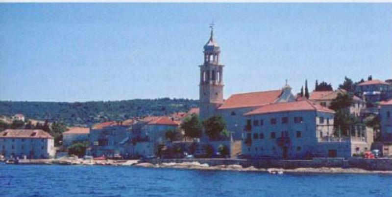
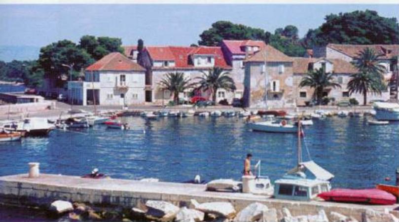
43°23'.2N 16°29'E Charts BA 2712, SC 5767, MK 18, lmray M26 Sutivan is perhaps the prettiest village and harbour on Brae, with a number of attractive old buildings. It lies on the north coast 3.3M west of Supetar. The harbour has many local boats, and if there is no room alongside the breakwater you may have to 'double park' outside the local boats
General
43°23'.2N 16°29'E Charts BA 2712, SC 5767, MK 18, lmray M26 Sutivan is perhaps the prettiest village and harbour on Brae, with a number of attractive old buildings. It lies on the north coast 3.3M west of Supetar. The harbour has many local boats, and if there is no room alongside the breakwater you may have to 'double park' outside the local boats.
Approach
There are no dangers in the immediate approach. The village can be recognised by the church spire with its onion-like top near the harbour.
Lights
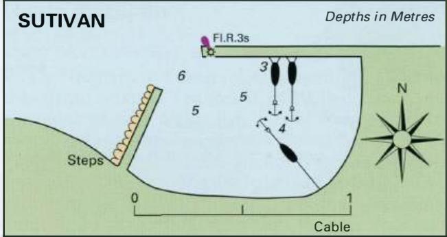
N breakwater end Fl.R.3s6m2M Otok Solta
Berth
Tie up bow/stern-to the breakwater, or alongside if space allows. If necessary, you may have to anchor outside of the local boats and row a line ashore.
Shelter
The harbour is sheltered from NE through S to W, although the bora does blow strongly here. In strong N and NW winds swell enters the harbour and under certain circumstances can be dangerous.
Facilities
No public water tap. Supermarket and butcher. Post Office and telephone. Medical centre. Tourist information. Hotel and restaurant. Cafe/bars. Bus servICe. OTOK SOLTA Otok Solta lies immediately W of Otok Brae and is one of the smallest inhabited islands in Croatia. It is approximately 9M long (E-W) and 2M wide (N-S). The E part of the island is rocky, and the W part covered with scrub. Some of the interior of the island is cultivated. The main crops are olives, and grapes for wine. There is a small fishing fleet at Maslinica. In keeping with most of the surrounding area, this island has been cultivated since ancient times. When Salona was destroyed in AD614 some of the Roman citizens, fleeing the invaders, settled here. The major settlement, Grohote, is inland. The nearest port to Grohote is Rogae, and it is from here that we commence. Visiting yachtsmen are charged harbour dues by the local council. Rogac