Susak Harbour
Region: North Adriatic
| Position: 44.513333, 14.316667 | Adriatic Sea / Jadransko more
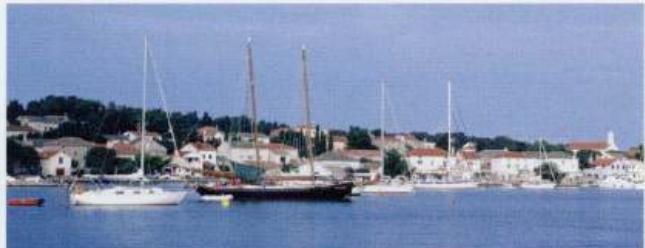
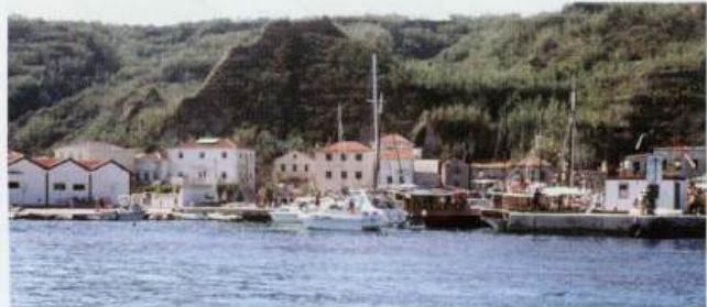
44°30'.8N 14°19'E Charts BA 202, MK 8, lmray M24 The approach to Susak harbour. The harbour is very popular with the tripper boats from Mali Losinj, so much so that they block up the harbour entrance The chimney shown on the Admiralty chart has been demolished. However, the church belfry in the village helps locate the harbour. There are shoal area
General
44°30'.8N 14°19'E Charts BA 202, MK 8, lmray M24 The approach to Susak harbour. The harbour is very popular with the tripper boats from Mali Losinj, so much so that they block up the harbour entrance
Approach
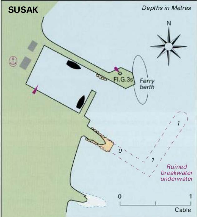
The chimney shown on the Admiralty chart has been demolished. However, the church belfry in the village helps locate the harbour. There are shoal areas extending from the headlands N and S of the harbour, and the submerged remains of the old breakwater extending NE from the head of the ruined pier are a hazard when approaching the harbour. Depths over this 'reef' are less than 1 .5m. The bay to the S of the harbour is shallow. Steer for the light structure on the end of the breakwater. Aim to pass close E of the end of the breakwater, and then steer towards the pier to the SW to avoid a rock which lies close to the N breakwater (see plan).
Lights
Susak lighthouse LFl(2)10s100m19M Susak harbour breakwater Fl.G.3s7m3M
Berth
The harbour is popular with tripper boats, and during the day it can be impossible even to e�1ter the harbour. Tie up alongside or bow/stern-to the inner sides of the breakwater (avoiding the rock) or pier as space allows. A delightful lunchtime anchorage is : . ' . ,._,, . , ' . ' ' ... ' c' :. . -U.vala. Nrulje , . .. ' '. .. . '.: .l .. in the wide N facing bay approximately half a mile to the E of the harbour where the holding on sand is good.
Shelter
Sheltef within the harbour is good from all directions except E. Entry should not be attempted in strong NE winds.
Facilities
Grocery store. Post Office. Ferry service to Mali Losinj. Uvala Porat