← Back to navigation map
Professional navigation chart centered on Su martin

Su martin

Region: Central Adriatic | Position: 43.285, 16.876667 | Adriatic Sea / Jadransko more
43°17'.1N 16°52'.6E Charts BA 7574, 2712, SC 5767, MK 18, 19, 20, lmray M26 Sumartin was founded in the mid-17th century by refugees from the mainland who had been driven from their homes by the Turks. The harbour at Sumartin is used by fishing boats. Sumartin is easily recognised from seaward by the small white lighthouse, which looks like a chape

General

43°17'.1N 16°52'.6E Charts BA 7574, 2712, SC 5767, MK 18, 19, 20, lmray M26 Sumartin was founded in the mid-17th century by refugees from the mainland who had been driven from their homes by the Turks. The harbour at Sumartin is used by fishing boats.

Approach

Sumartin is easily recognised from seaward by the small white lighthouse, which looks like a chapel on Rt Sumartin. Uvala Studena

Adriatic Navigation Guide Images for Su martin

Adriatic Navigation Guide images and captions provide additional visual reference for this navigation location.
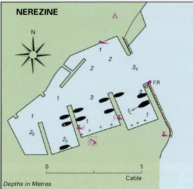
Su martin Adriatic Pilot image
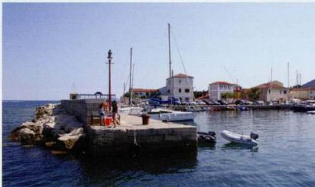
The entrance to the harbour at Nerezine
Su martin Adriatic Pilot image
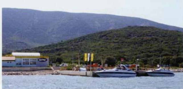
The fuel berth at Nerezine is north of the harbour, close to the approach channel to Osor
Su martin Adriatic Pilot image