Stomorska
Region: Central Adriatic
| Position: 43.373333, 16.355 | Adriatic Sea / Jadransko more
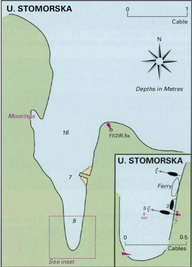
43°22'-4N 16°21"3E Charts BA 2712, SC 5767, MK 16, lmray M26 The small village of Stomorska lies around the shores of an inlet 2.6M southeast of Rogac, on the north coast of Solta. There is a light Fl(2)R.5sl lm3M on the headland E of the harbour, which helps identify the entrance. The village boasts a shop, restaurants, pizzeria, Post Office, The
General
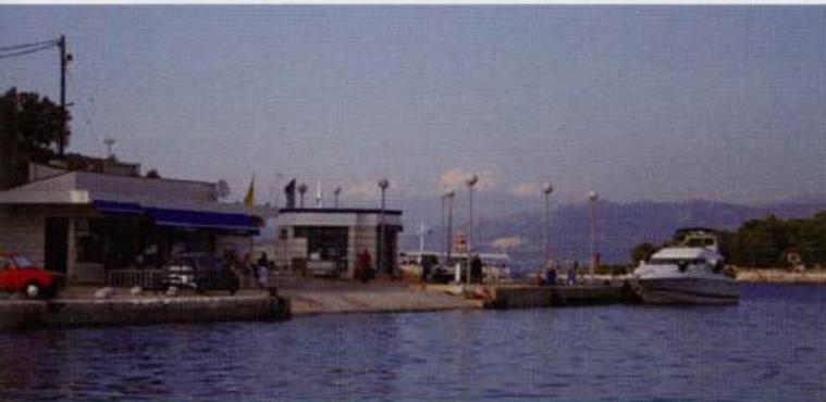
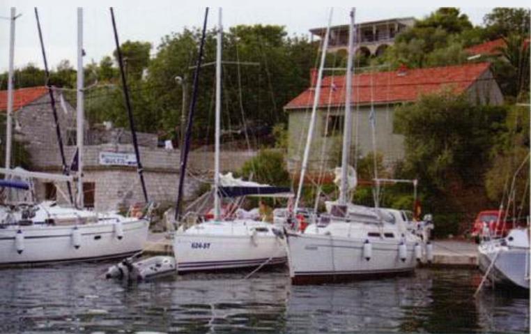
43°22'-4N 16°21"3E Charts BA 2712, SC 5767, MK 16, lmray M26 The small village of Stomorska lies around the shores of an inlet 2.6M southeast of Rogac, on the north coast of Solta. There is a light Fl(2)R.5sl lm3M on the headland E of the harbour, which helps identify the entrance. The village boasts a shop, restaurants, pizzeria, Post Office, The village quay at Rogac harbourmaster and a bar. The ferry to Split calls here early in the morning and late in the evening. Berth bow/stern to the E quay, where lines have been laid. Water and electricity are available here. Shelter at Stomorska is good except in N winds, which send seas straight into the harbour. Uvala Gornja Krusica