Region: Central Adriatic
| Position: 43.731667, 15.895 | Adriatic Sea / Jadransko more
43°43'-9N 15°53'.7E Charts BA 2774, 271 1, 2773 (detailed), SC 5767, MK 75, lmray M25 The city of Sibenik lies 2M inland on the E side of a ria, facing the Kanai Sv. Ante, through which it connects with the sea. Sibenik is an important cultural centre and a large commercial port where most facilities are available. The main quay with visitors' bert
General
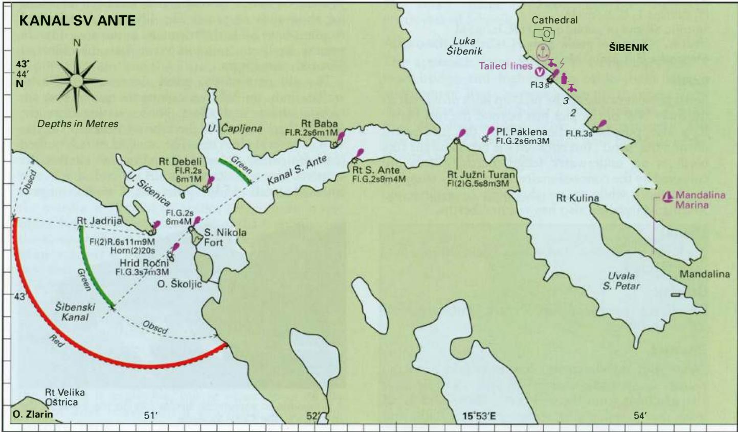
43°43'-9N 15°53'.7E Charts BA 2774, 271 1, 2773 (detailed), SC 5767, MK 75, lmray M25 The city of Sibenik lies 2M inland on the E side of a ria, facing the Kanai Sv. Ante, through which it connects with the sea. Sibenik is an important cultural centre and a large commercial port where most facilities are available. The main quay with visitors' berths is exposed, but is convenient for exploring the old city. A marina, which can accommodate mega yachts and is a charter base, has been established at Mandalina, SE of the city. The old town is of interest with a magnificent cathedral, but the modern developments, including aluminium smelting, spoil the otherwise attractive town. The city was badly damaged during the war with the Serbs in 1991-2.
Approach
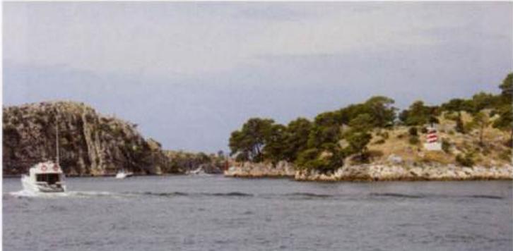
Sibenik lies to the E of the Kanal Sv. Ante. Approaching from Kana! Sv. Ante beware of the shoal, PliCina Paklena Fl.G.2s to the E of the exit from the Kanai. There are no other dangers in the approach.