Region: North Adriatic
| Position: 45.156667, 14.723333 | Adriatic Sea / Jadransko more
45°09'-4N 14°43'-4E Charts BA 2719, MK 5, lmray M24 Selce is a small holiday resort on the mainland coast of the Velebitski Kana!. Visiting yachts can tie up at a pier in the bay. The bay is open to the W. Selce lies lYiM northwest of the light on Rt Tokal and 1 .6M southeast of Crikvenica. Approaching from S or seaward the word TITO written on the
General
45°09'-4N 14°43'-4E Charts BA 2719, MK 5, lmray M24 Selce is a small holiday resort on the mainland coast of the Velebitski Kana!. Visiting yachts can tie up at a pier in the bay. The bay is open to the W.
Approach
Selce lies lYiM northwest of the light on Rt Tokal and 1 .6M southeast of Crikvenica. Approaching from S or seaward the word TITO written on the hillside above the town is conspicuous. There is a large hotel on the NW headland and a conspicuous belfry with a spire in the town. On the S and SE sides of the bay are a breakwater and a curved pier with a circular concrete bathing platform (built on a rock) between them. At night, these dangers are in the obscured sector of the light on the main pierhead. Approaching from N note that a shallow bank with just 4.8m over it extends approximately 1 cables off the mainland shore just NW of Selce.
Tie up alongside the main pier on which there is a light structure. Depths alongside the pier are approximately 3.5m. Tie up on the side, which will give the best shelter.
Shelter
Good shelter from N through E to S.
Facilities
Water is available from the tap on the beach shower, near the root of the S breakwater. Supermarket and butcher. Fruit and vegetable market. Bank, ATM, Post Office, telephones. Medical centre. Tourist information, hotels, restaurants, cafe/bars. Bus service. Taxis. Crikvenica
Adriatic Navigation Guide Images for Se Ice
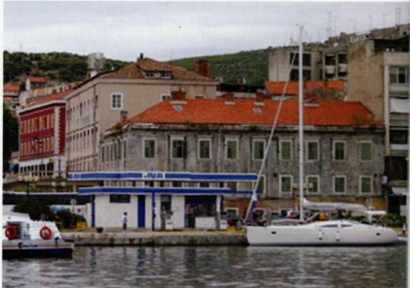
Adriatic Navigation Guide images and captions provide additional visual reference for this navigation location.