Professional navigation chart centered on Santa Foca di Melendugno
Santa Foca di Melendugno
Region: South Adriatic
| Position: 40.3, 18.4 | Adriatic Sea / Jadransko more
40°18'N 18°24'E Charts BA 187, 188 The facilities available at the small shallow harbour of Santa Foca di Melendugno, which is lOM NNW of Otranto, have been improved by the construction of a long breakwater to the N of the harbour. Marina facilities were in the process of being created but were still incomplete in the spring of 2007. The main dange
General
40°18'N 18°24'E Charts BA 187, 188 The facilities available at the small shallow harbour of Santa Foca di Melendugno, which is lOM NNW of Otranto, have been improved by the construction of a long breakwater to the N of the harbour. Marina facilities were in the process of being created but were still incomplete in the spring of 2007.
Approach
The main danger in the approach to Santa Foca di Melendugno is a patch of drying rock lying 2 cables N of the N breakwater and 2. 7 cables offshore. On entering the harbour do not approach the breakwater heads too closely because of underwater ballasting.
Lights
N breakwater head Fl.G.3s5M
Berth
As directed, and where space permits.
Facilities
Water, electricity and provisions are available. Otranto
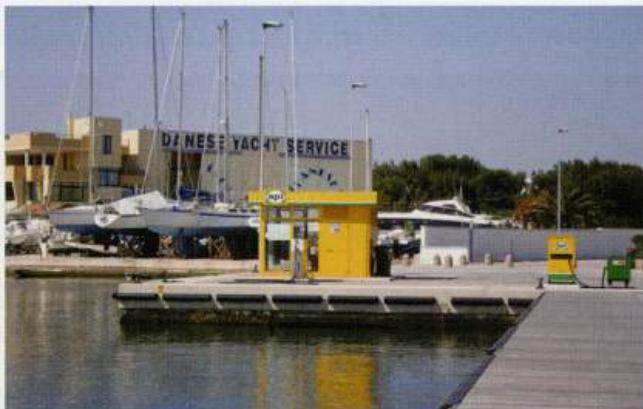
Adriatic Navigation Guide Images for Santa Foca di Melendugno
Adriatic Navigation Guide images and captions provide additional visual reference for this navigation location.