Rogac
Region: Central Adriatic
| Position: 43.395, 16.306667 | Adriatic Sea / Jadransko more
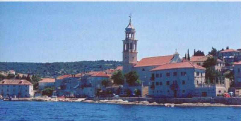
43°23'.7N 16°18'.4E Charts BA 2712, SC 5767, MK 76, lmray M26 Rogae is a small harbour on the N coast of Solta which has the advantage of a fuel berth. The approach to Rogae is clear of dangers, although do not approach Rt Bad too closely when entering. The light structure on Rt Bad, to the E of the harbour helps identify the bay. Rt Bad Fl.R.3s8m4
General
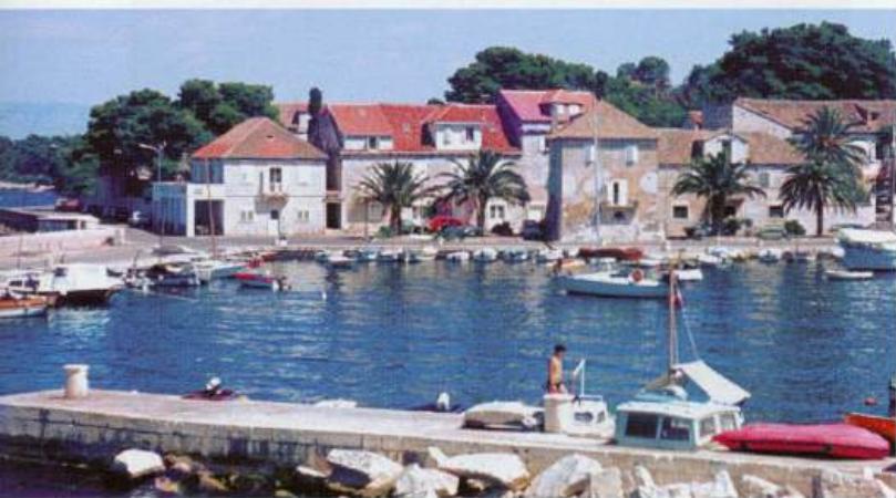
43°23'.7N 16°18'.4E Charts BA 2712, SC 5767, MK 76, lmray M26 Rogae is a small harbour on the N coast of Solta which has the advantage of a fuel berth.
Approach
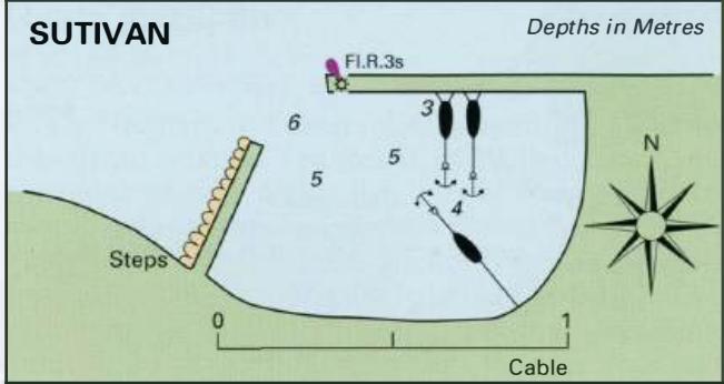
The approach to Rogae is clear of dangers, although do not approach Rt Bad too closely when entering. The light structure on Rt Bad, to the E of the harbour helps identify the bay.
Lights
Rt Bad Fl.R.3s8m4M Rogac ferry pier Fl(2)5s8m3M
Berth
The ferry uses the new pier on the N side of the entrance. Visiting yachts should moor bow/stern to the quay or anchor if space permits. The bottom is sand, and the holding is reported to be unreliable.
Shelter
The harbour is exposed to N to NE winds, but shelter is otherwise good.
Officials
Harbourmaster. The fuel berth at Luka Rogac, Otok Solta, is next to the ferry berth
Facilities
Water, electricity, and laid lines to the N and S quays. Bread from the kiosk next to the Harbourmaster's office. Pizzeria and restaurant. Cafe/bar. Fuel berth (petrol and diesel) but no water. The fuel berth has depths of 4.5m alongside, and is open between 0600 and 2200. Bank, ATM, Post Office and shops are at Grohote, just over YzM inland. Ferry service to Split. Otok Solta -Stomorska The fuel berth at Rogac Uvala Necujam