Professional navigation chart centered on River Guduca
River Guduca
Region: Central Adriatic
| Position: 43.831667, 15.845 | Adriatic Sea / Jadransko more
43°49'.9N 15°50'.7E Charts BA 271 1, 2773 (detailed), SC 5767, lmray M25 The river Guduca enters Prukljansko Jezero in the NW corner. From a distance the river valley can be distinguished by the distinctive formation of the hills. There is a secure and sheltered anchorage within this inlet in peaceful surroundings. Entry to the inner part of this i
General
43°49'.9N 15°50'.7E Charts BA 271 1, 2773 (detailed), SC 5767, lmray M25 The river Guduca enters Prukljansko Jezero in the NW corner. From a distance the river valley can be distinguished by the distinctive formation of the hills. There is a secure and sheltered anchorage within this inlet in peaceful surroundings. Entry to the inner part of this inlet is, however, prohibited. Prominent signs indicate the prohibited area, although the prohibition seems specifically to refer to landing, rather than anchoring. The river is off the beaten track, and so rarely visited by other yachts. At night, however, use an anchor light since fishermen occasionally come up here. Depths range from 1 lm near the entrance to 6m further upstream. The bottom is mud and the holding good. Approaching from S or SE note that there are some rocks close off the W shore, and rocks and shallows up to 6 cables off the NE shore of the Prukljansko Jezero. There are rocks on either side of the entrance to the river Guduca, so keep to the centre of the channel when entering. Uvala Beretusa
Adriatic Navigation Guide Images for River Guduca
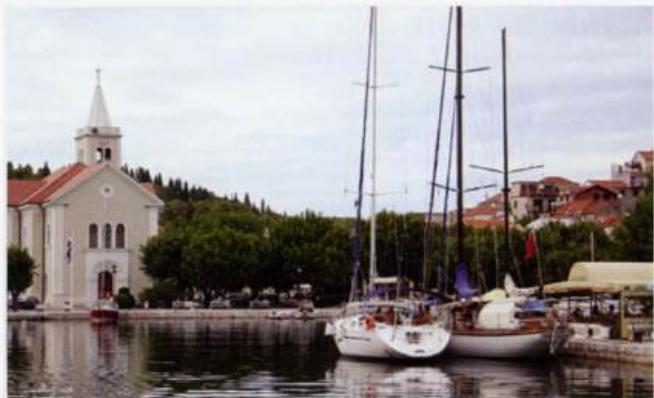
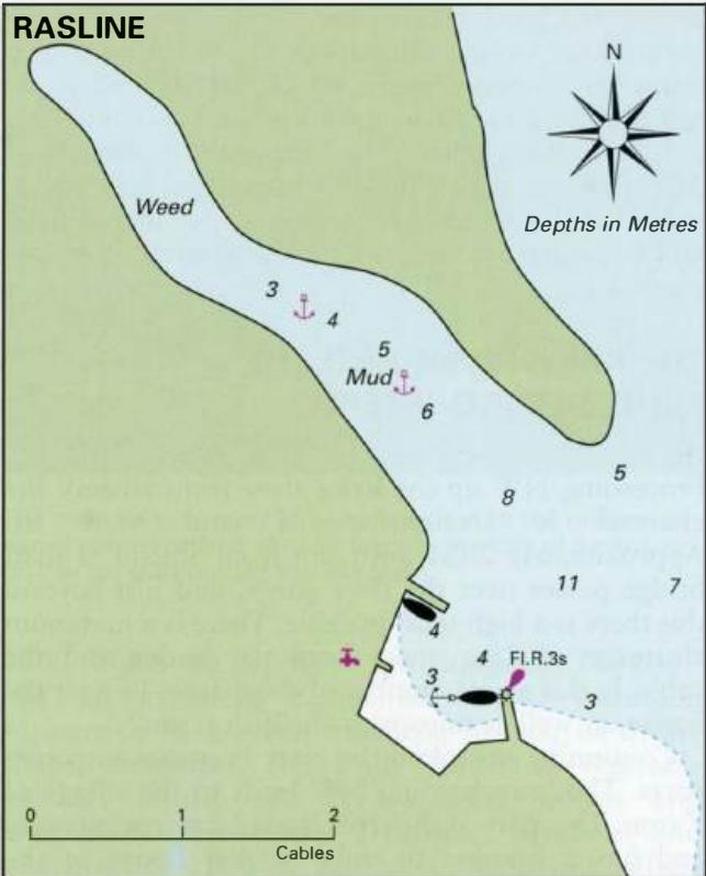
Adriatic Navigation Guide images and captions provide additional visual reference for this navigation location.