Pucisca
Region: Central Adriatic
| Position: 43.348333, 16.743333 | Adriatic Sea / Jadransko more
43°20'.9N 16°44"6E Charts BA 2712, 1574, SC 5767, MK 18, lmray M26 PuCisca, located around the shores of the SW arm of an inlet which stretches over 8 cables inland, is the largest settlement on the N coast of Brae. It is an attractive town with many old houses and a fine church. During the 15th and 16th centuries a total of 13 castles were built i
General
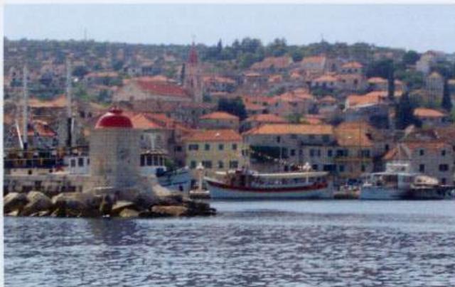
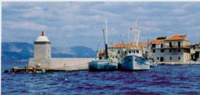
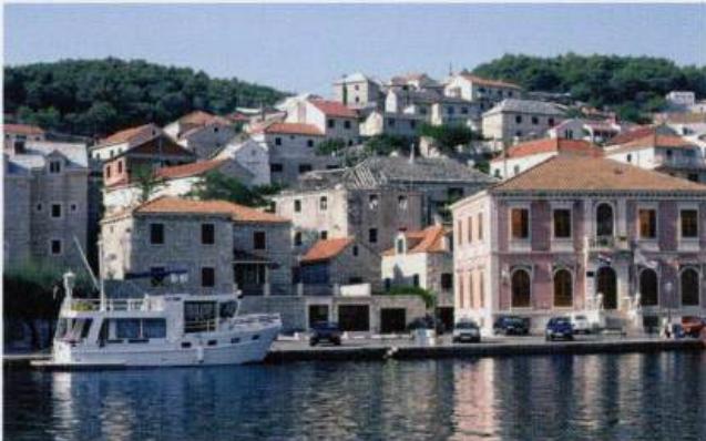
43°20'.9N 16°44"6E Charts BA 2712, 1574, SC 5767, MK 18, lmray M26 PuCisca, located around the shores of the SW arm of an inlet which stretches over 8 cables inland, is the largest settlement on the N coast of Brae. It is an attractive town with many old houses and a fine church. During the 15th and 16th centuries a total of 13 castles were built in and around the town as defence against marauding Turks, but only seven of these castles still exist.
Approach
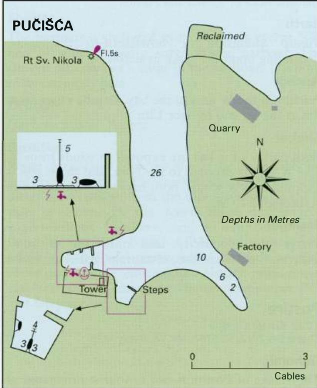
Pucisca is easily identified from seaward by the quarry on the E side of the entrance and the lighthouse on Rt Sv. Nikola, the headland on the W side of the entrance. There are no dangers in the approach.
Lights
Rt Sv. Nikola Fl.5s20m8M
Berth
The harbour is in the SW arm of the inlet. The best berth is bow/stern-to in the main part of the harbour as illustrated. Note that the central part of the SW quay has stonework projecting just above water level. The quay on the N side of the inlet is used by coasters.
Shelter
The bora blows particularly strongly here and is funnelled down the inlet, and into the SE arm. The SW arm of the inlet however is also extremely uncomfortable in a bora, and it is better not to be here! Shelter is good in moderate N winds, otherwise good shelter from NW through S to E.
Facilities
Water and electricity laid onto N and S quays. No fuel. Several shops including supermarkets, butchers and a hardware store. Fruit and vegetable market. Post Office and telephones. Bank, ATM, Medical centre and pharmacy. Tourist information, restaurants, cafe/bars, disco. Bus service. The visitors' quay at Pueisca, Otok Brae, close to the harbourmaster's office Uvala Luka