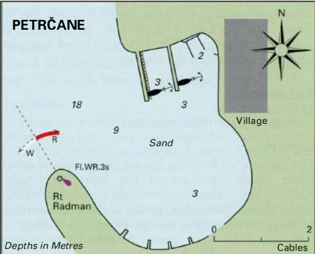
Professional navigation chart centered on Privlaka
Privlaka
Region: Central Adriatic
| Position: 44.265, 15.121667 | Adriatic Sea / Jadransko more
44°15'.9N 15°07'-3E Charts BA 575, MK 70, 72, lmray M25 There is a shallow harbour at Privlaka approximately 5M northwest of Petreane. The harbour is mainly used by local sand boats. There are depths of between 2 and 3m inside the harbour near the entrance, but the rest of the harbour is considerably shallower. It is difficult to find a berth, and
General
44°15'.9N 15°07'-3E Charts BA 575, MK 70, 72, lmray M25 There is a shallow harbour at Privlaka approximately 5M northwest of Petreane. The harbour is mainly used by local sand boats. There are depths of between 2 and 3m inside the harbour near the entrance, but the rest of the harbour is considerably shallower. It is difficult to find a berth, and anchoring is complicated by the network of anchors and cables set by the sand boats to keep them off the walls. With care, however, it is possible to anchor in the harbour and take stern lines to the breakwater. The seas in the approach to Privlaka are comparatively shallow for some distance offshore. Beware of the G light buoy (Fl.G.3s) marking a rocky ledge extending W from Rt Artie. There is Sm depth in the entrance to Privlaka, but a rocky patch with just 3m over it lies just to the N of the entrance. The harbour offers shelter in winds from E, SE and S. It is possible to visit the historic town of Nin by bus and then follow a footpath for about 3 miles back to Privlaka. The tourist office in Nin can provide you with a map. There is an ATM in Privlaka. OTOK VIR Charts BA 575, MK 70, 72, lmray M25
Adriatic Navigation Guide Images for Privlaka
Adriatic Navigation Guide images and captions provide additional visual reference for this navigation location.
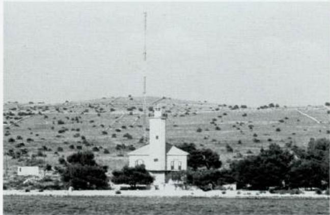
The lighthouse on Otok Vir. The aerial is conspicuous