Professional navigation chart centered on Primosten
Primosten
Region: Central Adriatic
| Position: 43.585, 15.93 | Adriatic Sea / Jadransko more
43°35".1 N 15°55'.8E Charts BA 2774, SC 5767, MK 75, lmray M25 Primosten is a pleasant little holiday town crowded during the season with visiting yachts and holidaymakers. The original village was built on anisland and surrounded by walls to protect villagers from the Turks. Today the island is linked to the mainland by a causeway, the walls have
General
43°35".1 N 15°55'.8E Charts BA 2774, SC 5767, MK 75, lmray M25 Primosten is a pleasant little holiday town crowded during the season with visiting yachts and holidaymakers. The original village was built on anisland and surrounded by walls to protect villagers from the Turks. Today the island is linked to the mainland by a causeway, the walls have been demolished and modern development fringes the bay. There are two small harbours at Primosten, which provide limited shelter. Harbour dues are charged.
Approach
The islands described in the entry for Luka Peles partially obstruct the approach to Primosten from S and W, and care should be taken to avoid these dangers especially if approaching at night. , Approaching from the N there is a small island 6 cables NW of Primosten. The island lies approximately 2 cables offshore and there is a passage through the gap with depths of 7.6m. The village of Primosten on its island with the church on the hill is conspicuous from seaward.
Lights
Rt Zecevo Fl(2)G.5s3M 357°-vis-248° Primosten Primosten Rt Kremik SE point Fl(2)R.5s3M 220°-vis-110° Gr. Grbavac Fl(2)5s7m7M
Adriatic Navigation Guide Images for Primosten
Adriatic Navigation Guide images and captions provide additional visual reference for this navigation location.
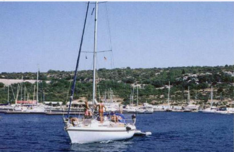
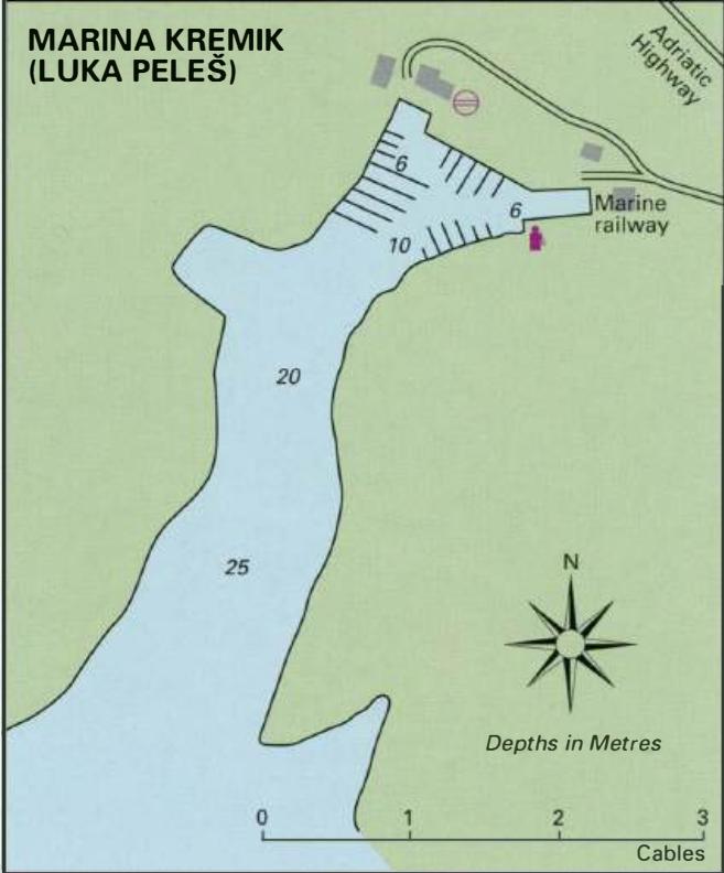
Kremik Marina's capacity has been increased by the addition of a large number of low pontoons. The fuel berth is in the background